
Buy PDF guide

Buy PDF guide — 38.56 USD

PDF — 38.56 USD

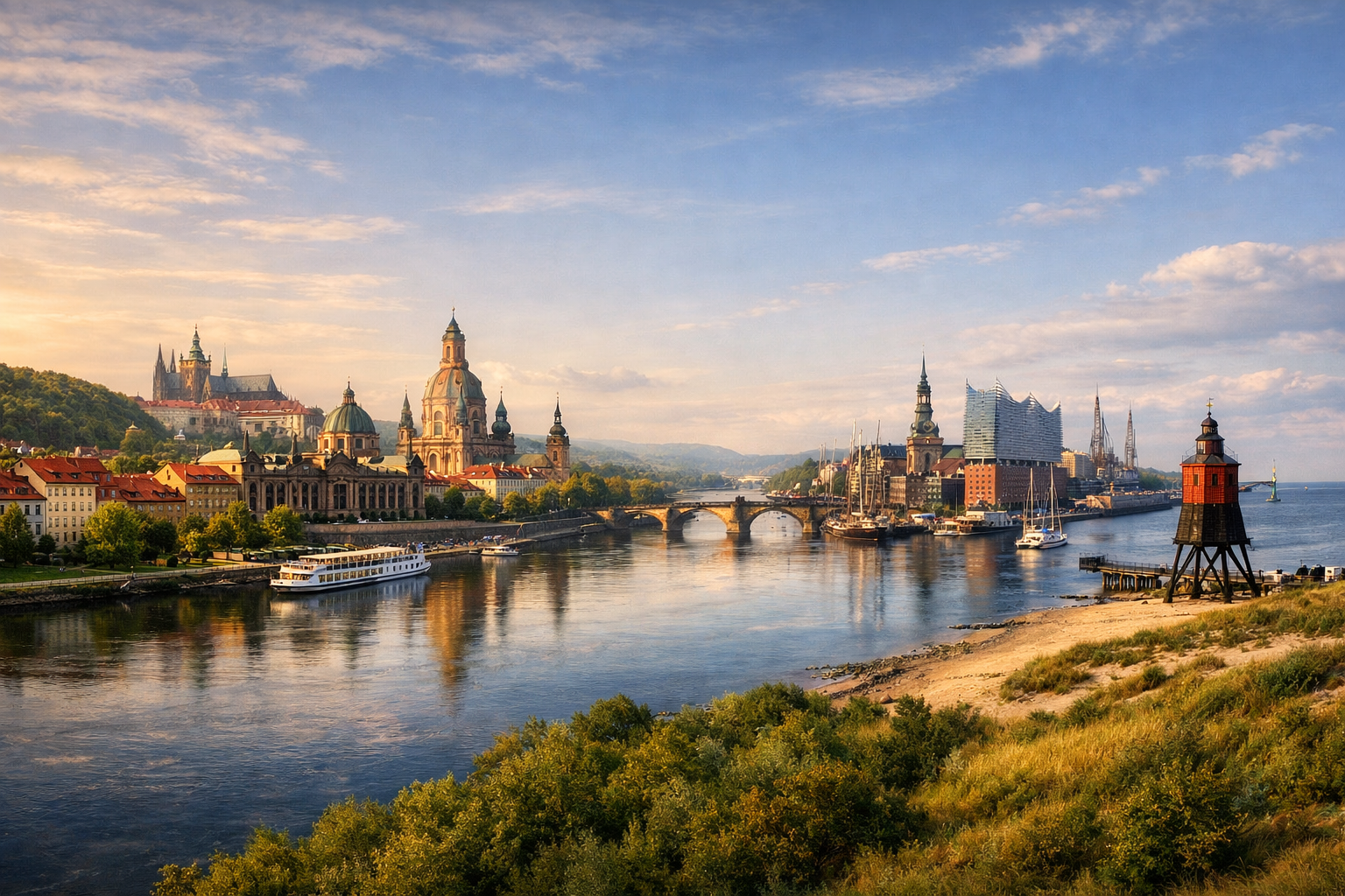
East and north of Germany Elbe: Prague - Dresden - Hamburg - Cuxhaven Difficulty: Moderate A big tour along almost the entire Elbe.

East and north of Germany Elbe: Prague - Dresden - Hamburg - Cuxhaven Difficulty: Moderate A big tour along almost the entire Elbe.

Follow the Elbe from the golden skyline of Prague through sandstone gorges, baroque river towns and broad northern plains all the way to the North Sea at Cuxhaven. This rewarding moderate tour links cultural highlights like Dresden and Hamburg with quieter stretches of dikes, meadows and historic riverside villages.

🚲 ROUTE BY DAY

Ready-made country and city routes with daily plans, sights, transport and accommodation. Buy PDF guides for independent travel.

🚲 ROUTE BY DAY


Day 1 — Prague → Melnik: a gentle start along the Vltava to the meeting point with the Elbe

  • 🚲 Start in Prague, finish in Melnik. Distance guide: 52–58 km, riding time 3.5–4.5 hours, elevation gain about 220–320 m. Surface is mixed: Prague city bike paths, paved embankments, separate bike lanes, then calm sections along the Vltava and local roads. Difficulty: moderate because of leaving a big city. Main stops along the way: Troja and the embankments of northern Prague, Kralupy nad Vltavou for coffee and shops, the castle panorama in Melnik. Water and food are easy to restock in Prague before the start, then in Kralupy and Neratovice; in Melnik there are already many cafés and supermarkets. It is best to stay overnight in the historic center of Melnik so you can take a relaxed evening walk to the castle and head straight onto the Elbe corridor the next morning. Road nuances: in Prague, stick to marked bike routes and embankments, avoid dense central traffic; in city sections there are many crossings with pedestrians. The day is realistic for an average cycle tourist because the distance is moderate, the terrain has no long climbs, and services are frequent along the way.


Day 2 — Melnik → Usti nad Labem: the first full day on the Elbe

  • 🚲 Start in Melnik, finish in Usti nad Labem. Distance guide: 62–68 km, riding time 4–5 hours, elevation gain 180–260 m. The surface is mostly flat: embankments, asphalt, firm gravel, and quiet roads through the river valley. Difficulty: moderate. Main stops: Roudnice nad Labem with its castle silhouette, Litomerice as a beautiful lunch stop, then river views before Usti. Roudnice and Litomerice are convenient for water and food; between towns it is better to carry at least 1.5–2 liters of water per person because some sections pass through calm rural areas. An overnight stay is best in Usti nad Labem near the center or the station: this is convenient in case of rain, repairs, or an early start. Day nuances: there may be short stretches on local roads with cars, but the main logic of the route follows the valley and avoids heavy traffic. With a headwind through the valley, actual riding time can noticeably increase. The day is realistic because it follows the natural river corridor and hardly requires difficult navigation.

Day 3 — Usti nad Labem → Decin: a short scenic transfer with time left for walks

  • 🚲 Start in Usti nad Labem, finish in Decin. Distance 25–32 km, riding time 1.5–2.5 hours, elevation gain 100–180 m. The surface is good: riverside paths, asphalt, and some sections on quiet streets. Difficulty: easy. This is a buffer day so as not to overload the start of the tour and to save energy for the scenic entry into Saxon Switzerland. Main stops: Strekov Castle on the opposite bank as a viewpoint, the surroundings of Velke Brezno, evening Decin Castle and the embankment. Water, snacks, and a full lunch are easy to find both in Usti and in Decin; along the way, riverside cafés and shops in the suburbs are worth using. It is best to stay overnight in Decin or on its outskirts near the route. Nuances: if the weather is good, you can add an extra evening loop without luggage to viewpoints, or if tired, dedicate the day to rest and bike maintenance. The day is especially realistic for an average traveler because the short distance allows you to ease into the rhythm of a big 18-day route without rushing.

Day 4 — Decin → Bad Schandau: the gateway to Saxon Switzerland

  • 🚲 Start in Decin, finish in Bad Schandau. Distance 24–30 km, riding time 1.5–2.5 hours, elevation gain 120–220 m. Surface: asphalt, riverside cycle paths, short sections on local roads and near crossings. Difficulty: easy. Main stops: Hrensko at the border, river views beneath sandstone cliffs, the historic center of Bad Schandau. Bring water and food in advance from Decin, though you can also restock in the border area; during tourist season there are more services, while outside high season some places may have shorter hours. Overnight in Bad Schandau makes sense: it is convenient for rest, using the rail station, ferries, and shops. Road nuances: the national park and border zone require respecting signs and not leaving the route onto closed trails; some popular routes around Bad Schandau are periodically closed because of works or bridge conditions, so on site it is best to follow current local navigation. The day is realistic because it follows one of the best-known and best-developed sections of the Elberadweg and suits even tourists on e-bikes with luggage.

Day 5 — Bad Schandau → Dresden: cliffs, vineyards, and a gentle descent to the Saxon capital

  • 🚲 Start in Bad Schandau, finish in Dresden. Distance 42–48 km, riding time 3–4 hours, elevation gain 170–260 m. The surface is very comfortable: quality Elberadweg bike paths, embankments, calm paved sections through Pirna and the suburbs of Dresden. Difficulty: moderate, but without demanding terrain. Main stops: Pirna as a beautiful town stop, scenic sections of the Elbe valley, and the final arrival along Dresden’s embankments with the panorama of the old town. Water and food are easy to restock in Bad Schandau, Pirna, and the suburbs; this is one of the most service-rich days of the whole route. It is best to stay near Dresden Hbf or in the old town so you can walk around in the evening without the bike. Nuances: on popular sections there may be heavy traffic of leisure cyclists and pedestrians, so do not plan for a high average speed. The day is realistic thanks to the gentle profile, excellent infrastructure, and frequent opportunities to shorten or interrupt the stage by S-Bahn with the bike.

Day 6 — Dresden → Meissen: wine valley and the first long calm rhythm

  • 🚲 Start in Dresden, finish in Meissen. Distance 30–35 km, riding time 2–3 hours, elevation gain 130–220 m. Surface: paved embankments, bike paths along the Elbe, and good gravel in places. Difficulty: easy. Main stops: the palaces and embankments of Dresden on departure, Radebeul with its vineyard hills, old Meissen with a view of Albrechtsburg. Water and food are easy to top up in Radebeul, while a full dinner is best left for Meissen. Staying overnight in Meissen is a good idea because the center is compact and there is no point making this into a long urban day. Nuances: suburban sections can be busy on sunny weekends; it is better to ride early in the morning. The day is realistic because after several opening days it offers a more relaxed pace, time for sightseeing, and bike maintenance.

Day 7 — Meissen → Torgau: a long flat day along the great river

  • 🚲 Start in Meissen, finish in Torgau. Distance 66–72 km, riding time 4.5–5.5 hours, elevation gain 180–260 m. The surface is mixed but usually comfortable: asphalt, firm gravel, and rural roads with low traffic. Difficulty: moderate. Main stops: Riesa for coffee and shops, quiet meadow sections of the middle course, and the historic center of Torgau. Be sure to restock water and food in Riesa; after that services are less frequent than between Dresden and Meissen. It is best to stay overnight in Torgau’s old town. Road nuances: open stretches along the dikes are very exposed to wind and sun, so in summer it is better to start earlier and carry extra water. The day is realistic because it is long but almost without terrain stress and follows the classic tourist Elbe corridor.

Day 8 — Torgau → Lutherstadt Wittenberg: historic towns and smooth riding

  • 🚲 Start in Torgau, finish in Lutherstadt Wittenberg. Distance 62–68 km, riding time 4–5 hours, elevation gain 120–200 m. Surface: riverside paths, rural asphalt, and some gravel on the dikes. Difficulty: moderate. Main stops: Elster as a calm break, natural floodplain sections, arrival into Wittenberg with its Lutheran heritage. Torgau before departure and small towns on the way are convenient for water and food; in hot weather, do not rely only on fountains, better to carry at least two bottles. The best overnight stay is in the historic center of Wittenberg near the Hauptbahnhof or the old town. Nuances: some dike sections are wonderful but have almost no shade. The day is realistic for an average cycle tourist thanks to the very flat profile and the good option of switching to a regional train if tired.

Day 9 — Wittenberg → Dessau: a short transfer to Bauhaus landscapes and parks

  • 🚲 Start in Wittenberg, finish in Dessau-Rosslau. Distance 34–40 km, riding time 2.5–3.5 hours, elevation gain 90–150 m. Surface is good: Elberadweg, city bike paths, park avenues, and quiet roads. Difficulty: easy. Main stops: Worlitz Park as an optional loop, biosphere meadow sections along the way, and the museum atmosphere of Dessau. Water and food are easy to get in Wittenberg and on arrival in Dessau; if you detour to Worlitz, it is easy to have a full lunch there. It is best to stay in Dessau for 1 night with the option of an evening walk to Bauhaus sites. Nuances: the day is short, so it makes sense to use it as a half-day stage and time for laundry, small repairs, tube replacement, or brake pad replacement. The day is realistic specifically as a recovery stage after two longer days.

Day 10 — Dessau → Magdeburg: a long link across the plain with engineering landscapes

  • 🚲 Start in Dessau, finish in Magdeburg. Distance 65–70 km, riding time 4.5–5.5 hours, elevation gain 120–190 m. Surface: asphalt, dike gravel, local roads with low traffic. Difficulty: moderate. Main stops: the surroundings of Aken and biosphere sections, and closer to Magdeburg — engineering views of water structures and the canal bridge as a symbol of the region’s river logistics. Water and food should be stocked up in Dessau before departure and in small towns along the way; on some dikes there are few services. Overnight is best in central Magdeburg or near the station. Nuances: a long open stage exposed to wind; with a strong headwind or heavy rain, the day can safely be shortened by train. It is realistic because the terrain hardly interferes, and the route is popular with cycle tourists and easy to follow through the valley.

Day 11 — Magdeburg → Tangermunde: a cozy stage to the old Hanseatic town

  • 🚲 Start in Magdeburg, finish in Tangermunde. Distance 58–64 km, riding time 4–4.5 hours, elevation gain 110–180 m. Surface is mixed: city bike paths on the way out, then dikes, rural asphalt, and short gravel sections. Difficulty: moderate. Main stops: Wolmirstedt or local villages for a break, river panoramas of the middle course, and the old brick town of Tangermunde. Water and food: take your main supplies in Magdeburg, and stop for lunch in settlements along the way; shops exist, but not as densely as in Saxony. It is best to stay overnight in Tangermunde within or near the old part of town. Nuances: in historic centers there is cobblestone, so on narrow tires and with luggage it is better to ride more slowly. The day is realistic because it is a classic flatland distance without overload.

Day 12 — Tangermunde → Havelberg: quiet floodplains and more nature

  • 🚲 Start in Tangermunde, finish in Havelberg. Distance 46–52 km, riding time 3–4 hours, elevation gain 90–150 m. Surface: asphalt, firm gravel, dikes, quiet rural roads. Difficulty: easy. Main stops: natural Elbe sections, viewpoints from the dikes, and the cathedral silhouette of Havelberg. Water and food are best restocked at the start of the day and in villages along the way; this is a quiet rural stage where shop hours may be limited. It is very convenient to stay overnight in Havelberg, which is well suited to a riverside rest and a slow evening. Nuances: strong crosswinds are possible on the dikes, and after rain some gravel sections can become sticky. The day is realistic for most tourists thanks to its moderate length and lack of big-city stress.

Day 13 — Havelberg → Wittenberge: birds, dikes, and the openness of the lower Elbe

  • 🚲 Start in Havelberg, finish in Wittenberge. Distance 36–42 km, riding time 2.5–3.5 hours, elevation gain 80–140 m. Surface: dikes, asphalt, short gravel sections. Difficulty: easy. Main stops: Rühstädt with its stork landscapes, scenic floodplain viewpoints, and an evening walk in Wittenberge. Water and food can be restocked in Havelberg and Rühstädt; in the final kilometers shops and services become easier again. It is best to stay overnight in Wittenberge near the station or the historic center. Nuances: this is a good day for laundry, replacing worn parts, and checking tires before the northern open windy sections. The day is realistic because the short distance leaves a margin for rest and logistics.

Day 14 — Wittenberge → Bleckede: a long transition to the lower course

  • 🚲 Start in Wittenberge, finish in Bleckede. Distance 68–74 km, riding time 4.5–5.5 hours, elevation gain 110–170 m. Surface: Elberadweg, rural roads, asphalt, and firm gravel in places. Difficulty: moderate. Main stops: Hitzacker or neighboring river settlements as a lunch stop, long natural sections of the Lower Saxony biosphere region, and the ferry-river character of Bleckede. Water and food: carry a full supply, as larger gaps between services become more noticeable here. It is best to stay overnight in Bleckede or near the ferry/central part of town. Nuances: the section is very beautiful, but windy and somewhat monotonous; psychologically it helps to split the day into 3 short segments of 20–25 km. The day is realistic thanks to the flat profile, though for an untrained tourist on a regular bike it is worth starting early.

Day 15 — Bleckede → Hamburg: entering the major port metropolis

  • 🚲 Start in Bleckede, finish in Hamburg. Distance 58–64 km, riding time 4–5 hours, elevation gain 90–150 m. Surface: bike paths along the river, rural paved sections, then urban cycling infrastructure and embankments. Difficulty: moderate. Main stops: Geesthacht with services and shops, the area along the Elbe embankments before entering the city, and evening views of Hamburg. Water and food are best taken in Bleckede and Geesthacht; in the city section there is no shortage of cafés and shops. The best overnight stay is in Hamburg closer to Altona, St. Pauli, or the center with good access to stations and ferries. Nuances: the final urban kilometers require extra attention to markings; trams/tracks are less of a risk here than in some other cities, but traffic density is higher. The day is realistic because as you approach Hamburg, infrastructure and options to shorten the route improve sharply.

Day 16 — Hamburg → Gluckstadt: portside banks, marshes, and backup logistics

  • 🚲 Start in Hamburg, finish in Gluckstadt. Distance 54–62 km, riding time 3.5–4.5 hours, elevation gain 70–130 m. Surface: urban cycling routes, asphalt along dikes, and smooth gravel in places. Difficulty: moderate. Main stops: Altona and Hamburg’s waterfront points, the Blankenese or Wedel area as a scenic pause, and old Gluckstadt. Water and food are easy to restock in the suburbs, but on the marsh sections between settlements it is better to carry reserves. Staying overnight in Gluckstadt is convenient because of the early start to the ferry crossing. Nuances: if desired, part of the urban logistics can be varied by using a HADAG ferry, but you need to follow the rules for boarding with a bicycle and watch for seasonal/event-related timetable restrictions. The day is realistic thanks to the low elevation and the good infrastructure of the lower Elbe.

Day 17 — Gluckstadt → Wischhafen → Cuxhaven: the Elbe estuary and the salty wind of the North Sea

  • 🚲 Start in Gluckstadt, finish in Cuxhaven. Distance 58–66 km by bike plus the ferry across the Elbe, riding time 4–5 hours, elevation gain 60–120 m. Surface: dikes, asphalt, sections on marsh roads, and short in-town segments. Difficulty: moderate. Main stops: the Gluckstadt—Wischhafen ferry as a key logistics point, the green marsh landscapes of Lower Saxony, and the first sea views before Cuxhaven. Water and food are easy to restock in Gluckstadt before boarding the ferry, then in Wischhafen and settlements along the way. It is best to stay overnight in Cuxhaven near the center or the sea. Nuances: check the ferry timetable in advance, and on estuary sections be ready for strong wind and slanting rain; because of the open space, average speed here is often lower. The day is realistic because it includes a necessary safe crossing instead of risky road detours and keeps a reasonable distance.

Day 18 — Cuxhaven: a final coastal cycling day to dunes, harbor, and mudflats

  • 🚲 Start and finish in Cuxhaven. Distance 28–40 km without luggage, riding time 2–3 hours, elevation gain minimal — usually up to 60 m. Surface: seaside cycle paths, asphalt, embankments, resort streets, and paving in places. Difficulty: easy. Main stops: Alte Liebe and harbor views, Duhnen or Sahlenburg with dunes and beach atmosphere, and viewpoints toward the Wadden Sea. Water and food are easy to restock in town and resort areas; this is a relaxed day after a big tour. It is best to stay a second night in Cuxhaven so you can calmly pack the bike or prepare it for the train. Nuances: wind by the sea can be stronger than it looks in the forecast; on beach and promenade paths it is important to ride very slowly and respect pedestrians. The day is realistic as a beautiful ending to an 18-day journey: no heavy mileage, but a full sense of finishing at the North Sea.

Flight tickets

eSIM for travel

Buy PDF guide

Buy PDF guide — 38.56 USD

PDF — 38.56 USD