
Buy PDF guide

Buy PDF guide — 10.71 USD

PDF — 10.71 USD

Swiss Monte Rosa tour: from Saas-Fee to Zermatt. Difficulty: high. Season: July - September.

Swiss Monte Rosa tour: from Saas-Fee to Zermatt. Difficulty: high. Season: July - September.

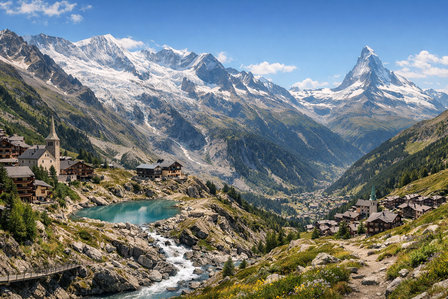
Trek through the high Alps from Saas-Fee to Zermatt on the spectacular Monte Rosa Tour, where glacier views, rugged passes, and dramatic peaks define every stage. This demanding summer route leads from the quiet charm of Saas-Almagell to the iconic skyline of Zermatt, with some of Switzerland’s most unforgettable mountain scenery along the way.

🥾 DAY-BY-DAY ROUTE

Ready-made country and city routes with daily plans, sights, transport and accommodation. Buy PDF guides for independent travel.

🥾 DAY-BY-DAY ROUTE


Day 1 — Saas-Fee: panoramic walk in the Hannig area

  • 🥾 It’s best to dedicate the first day to acclimatization and a beautiful but not extreme walk above Saas-Fee. Take the cable car up to Hannig and choose a scenic route across open alpine slopes and larch-pine sections with wide views over the glacial basin of Saas-Fee and the chain of four-thousand-meter peaks. The active part of the day usually takes about 2.5–4 hours depending on the descent option; the difficulty for a regular tourist is moderate, with no technical sections. This is a good start precisely because there is trail marking, convenient lift access, and the option to shorten the route at any time by descending back. As a guideline, expect 6–9 km and a moderate elevation gain/loss if you walk down to the village. In July, isolated snow patches may still remain along the edges of the trail at altitude, and after rain the descent sections can be slippery, so it’s better to start in the morning and check the status of the lift and trails at the Saas-Fee tourist office.


Day 2 — Saas-Almagell: walk to Almagelleralp through an alpine valley

  • 🌲 Today the route moves into the greener and more pastoral landscape of Saas-Almagell. The calmest option for regular tourists is to head up toward Furggstalden and take the walk to Almagelleralp along the well-known trail through forest sections, alpine meadows, and scenic valley balconies. The full active segment is about 3–4.5 hours with a lunch stop at a mountain restaurant; the distance is roughly 5–8 km depending on whether you do only the out-and-back walk or add part of the descent on foot. Formally, the region is also known for more “adventurous” trails, but for this tour only the safe, popular, and non-technical option is chosen, with no need for special equipment. Difficulty is moderate. The route suits a regular tourist if you have basic endurance and comfortable footwear. In July–September, it’s important to keep daytime thunderstorms in mind: it’s better to set out early, and in case of rain not delay the return, because the weather changes quickly on the high pastures.

Day 3 — Transfer to Zermatt and an easy walk: Gornerschlucht gorge and the forest path to Furi

  • 💧 This is a base-change day, so the load should be lighter. After transferring from Saas-Fee to Zermatt, it’s convenient to take a short nature walk in the southern part of the resort: walk along wooden boardwalks through Gornerschlucht, and then, if you like, continue along the easy trail toward Furi or return the same way. The character of the walk is canyon, water, rocks, forest, and river valley. The active part of the day usually takes 1.5–3 hours; difficulty is easy. The gorge itself is reachable from the southern edge of Zermatt on foot in about 15 minutes from the village, which makes the day very realistic after the journey. This is a good choice for a regular tourist: the route is short, popular, with simple logistics and no dangerous alpine sections. An important seasonal nuance is that the gorge is open only in the summer-autumn period according to schedule, and in rainy hours the wooden walkways can be wet and slippery. If you feel tired after the transfer, you can limit the day to just visiting the gorge.

Day 4 — Zermatt: the legendary 5-Seenweg from Blauherd to Sunnegga

  • 🏔️ The main hiking day of the tour is the famous 5-Seenweg, one of the best-known safe panoramic trails in the region. The route passes through high-alpine meadows and moraine landscapes between lakes Stellisee, Grindjisee, Grünsee, Moosjisee, and Leisee. The active part takes about 3 hr 15 min – 3 hr 30 min; official route guidelines are approximately 11–11.3 km, elevation gain about 265–380 m, and a noticeable descent to Sunnegga. Difficulty is moderate. This trail is excellent for a regular tourist because the ascent to the start is done by funicular and gondola, the path is marked, very popular, and requires no ice or mountaineering equipment. Along the way there are lakes with Matterhorn reflections, rare high-alpine flora, convenient picnic spots, and a gentle rhythm of movement without extreme climbs. In the July–September season, it’s important to start early: in the morning the light is calmer for photos and there is less chance of running into afternoon thunderstorms. You should also check in advance whether the lift to Blauherd is operating, because an open trail does not always mean the mountain lifts are running for the whole section.

Day 5 — Zermatt: Riffelsee and the gentle scenic route Rotenboden → Riffelberg

  • 🪞 The final day is a classic walk in the Gornergrat area with one of Switzerland’s most photogenic lakes. Take the Gornergrat Bahn train to Rotenboden, stop by Riffelsee, and then walk down to Riffelberg along the well-known scenic trail. The character of the walk is high-alpine meadows, stony alpine clearings, a lake, viewpoints, and a Matterhorn panorama. The active part of the day takes about 1–2 hours; the distance is around 3.1 km, and the difficulty is easy or lower-moderate, with a mostly downhill profile. This day is especially suitable for a regular tourist: access to altitude is provided by train, the walk itself is short, well marked, and allows you to finish the tour without overload. If you still have energy, you can calmly walk around the upper platforms of Gornergrat before descending, but without adding difficult hikes. Seasonal nuances matter here: at around 2800–3100 m, even in summer there can be cold wind, fog, and sudden weather changes; for the best Matterhorn reflection at the lake, it helps to arrive in the morning, and it’s worth carrying a warm jacket even in July.

Flight tickets

eSIM for travel

Buy PDF guide

Buy PDF guide — 10.71 USD

PDF — 10.71 USD