
Buy PDF guide

Buy PDF guide — 29.99 USD

PDF — 29.99 USD

Switzerland. Via Jacobi: a pilgrimage hiking route along the Swiss section of the Way of St. James. Difficulty: moderate. Season: April - October.

Switzerland. Via Jacobi: a pilgrimage hiking route along the Swiss section of the Way of St. James. Difficulty: moderate. Season: April - October.

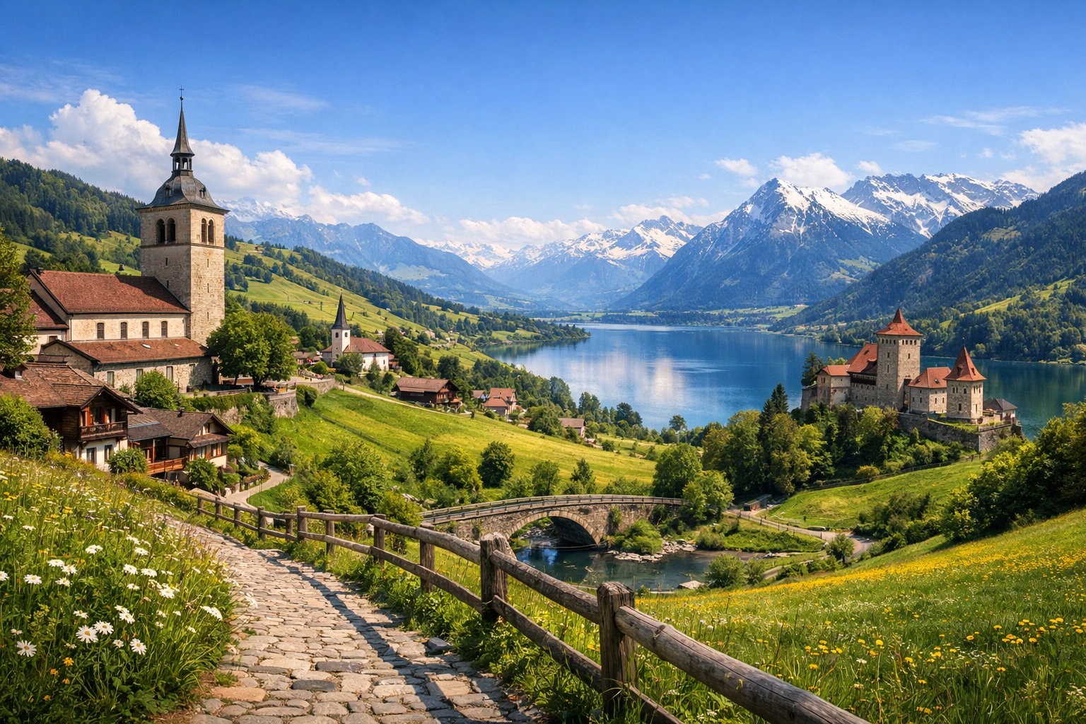
Discover Switzerland on the Via Jacobi, where the Way of St. James winds from Rorschach to Brunnen through lake shores, forest paths, quiet valleys, and storybook towns. This moderate pilgrimage route is best from April to October, with highlights including St. Gallen and Einsiedeln along the way.

🥾 DAY-BY-DAY ITINERARY

Ready-made country and city routes with daily plans, sights, transport and accommodation. Buy PDF guides for independent travel.

🥾 DAY-BY-DAY ITINERARY


Day 1 — Rorschach: the shore of Lake Constance and a gentle start to the route

  • 🥾 The first day is best devoted to an easy acclimatization walk along the Rorschach promenade and the natural sections by the shore of Lake Constance. This is a lake + park + flat urban and waterfront paths kind of walk, with about 2–3 hours of active time, easy difficulty, and a distance of roughly 6–8 km with minimal elevation gain. The day suits an ordinary traveler without special gear: the surface is comfortable, navigation is simple, and there are stations, cafés, and the option to shorten the route at any time nearby. It is a good way to get into the rhythm of Via Jacobi without overload after the journey. In April and early May it can be cool and windy by the water, and after rain a waterproof jacket is useful on the open promenade. In summer it is comfortable to walk here in the morning or closer to evening, when the light over the lake is especially beautiful.


Day 2 — Via Jacobi: Rorschach → St. Gallen → Herisau

  • 🥾 A full walking day on the official Via Jacobi: from the lakeside shore of Rorschach through greener suburbs and cultural landscape toward St. Gallen, and then onward to Herisau. The character of the walk is lake edge, urban parks, rural hills, and wooded sections. The active part usually takes almost the whole day, about 7–8 hours, with moderate difficulty. This is a long but technically easy route on marked trails and walking roads; comfortable shoes, water, and basic stamina are enough. The day suits ordinary travelers because there are no mountaineering sections, glaciers, dangerous ridges, or complex navigation. If you want to reduce the нагрузку, you can finish the day already in St. Gallen and walk the rest of the stage separately. In rainy weather some of the surface may be wet, and in the warmer months it is worth setting out earlier to walk at a comfortable pace and check in without rushing.

Day 3 — St. Gallen: Drei Weieren and forest trails above the city

  • 🥾 After a long transfer, it is ideal to make this a lighter nature day in the Drei Weieren area — a green zone with ponds, forest paths, viewpoints, and gentle climbs above the rooftops of St. Gallen. Active time is 2.5–4 hours, difficulty is easy, distance is about 5–8 km, and elevation gain is usually 150–250 m depending on the chosen loop. The walk suits an ordinary traveler: the trails are popular, easy to follow, city transport is nearby, and the routes can easily be shortened. This is one of the best days for unhurried hiking with panoramas, water, and shade. After rain the forest paths can be slippery, and on hot days it is better to bring water even though the route does not look “mountainous.” In spring it is especially green here, and in autumn it is pleasant to walk thanks to the soft light and calm atmosphere.

Day 4 — St. Gallen: Mülenen Gorge and the hills of the Appenzell region

  • 🥾 This day can be devoted to a nature walk with the character of canyon + forest + pastoral hills. Start by passing through Mülenen Schlucht, then continue along quiet paths and rural trails toward more open views. Active time is 3–5 hours, difficulty is easy or closer to moderate, distance is about 7–10 km, and elevation gain is around 250–350 m. The route suits an ordinary traveler because this is not high alpine terrain and not technical hiking: you only need ordinary trekking shoes and care on steps and wet sections. If there is heavy rain, it can be slippery in the gorge, so on such a day it is better to go slowly and check the route conditions on site. This is a good “buffer” day before the next long section of Via Jacobi.

Day 5 — Via Jacobi: Herisau → Toggenburg side → Wattwil

  • 🥾 Another real pilgrimage day through the greener, more rural part of the route. The character of the walk is hills, farm meadows, small forests, streams, and quiet village roads. The active part is about 6–7 hours, with moderate difficulty; distance and elevation gain depend on the exact variation of the section, but it is a substantial walking day. It suits an ordinary traveler without special equipment because this is a classic Swiss marked hiking network rather than difficult mountain routes. The main challenge here is pace, not technique. In April and October, layered clothing and an early start are especially important because daylight is shorter and the weather is changeable. If needed, part of the section can be shortened logistically by train while still preserving the feeling of the route.

Day 6 — Transfer to Einsiedeln and a walk by Sihlsee

  • 🥾 After the crossings through Eastern Switzerland, it is better to make the day gentler: transfer to Einsiedeln and, after checking in, take a walk along the shores of Lake Sihlsee. The character of the day is lake, meadows, calm forest edges, and open panoramas. The active part is 2–4 hours, difficulty is easy, distance is about 6–9 km, and elevation gain is small. This is a very friendly route for an ordinary traveler: the trails are clear, the altitude is moderate, and you can always turn back earlier. In summer it can be sunny and quite bright by the lake, so it is worth bringing sun protection. After rain some dirt sections become soft, but there are no technically difficult places here. The day is well suited for recovery before one of the most beautiful stages of Via Jacobi.

Day 7 — Via Jacobi: Rapperswil → Hurden → Einsiedeln via Etzel

  • 🥾 One of the most famous sections of Via Jacobi: the wooden bridge across the upper part of Lake Zurich, water views, then the climb over the Etzel pass and the approach to Einsiedeln. This is a lake-and-forest and hilly pilgrimage day with a very beautiful change of landscapes. Officially the route is about 17 km, with roughly 5 hours of pure walking time, around 780 m of elevation gain, and moderate difficulty. It suits an ordinary traveler very well: the trail is official, well marked, without mountaineering elements and without the need for special gear. The main thing is to be ready for a long climb after the flat lakeside start. On hot days it is better to start early, and in rain be more careful on the forest and stony sections near the ascent to Etzel. If you do not want to walk the full transition, it is easy to reach Rapperswil by train and walk only the most beautiful part of the stage.

Day 8 — Einsiedeln: Schwantenau and calm trails through a marsh landscape

  • 🥾 This day is about gentle nature and an unhurried rhythm: a walk in the Schwantenau area, where forest, wetlands, clearings, and flat footpaths alternate. Active time is 2.5–4 hours, difficulty is easy, distance is about 7–10 km, and elevation gain is moderate or small. The route is excellent for an ordinary traveler because this is not high alpine terrain but a natural area with accessible trails and no dangerous sections. It is especially pleasant here in spring and early autumn, when the air is cooler and there is less risk of overheating. After heavy rain some dirt sections may be wet, so closed shoes are preferable to ordinary city sneakers. This is a good rest day while keeping the route’s nature-focused character.

Day 9 — Via Jacobi: Einsiedeln → Schwyz

  • 🥾 A full Via Jacobi stage in the central part of the country: the pilgrimage trail leads away from the monastery surroundings toward the more mountainous scenery of the canton of Schwyz. The character of the walk is rural roads, forest crossings, sections with lake views, and higher pass-like terrain. The active part is about 5–6 hours, with moderate difficulty; this is already a serious walking day, but without technical obstacles. For an ordinary traveler the route is suitable with normal fitness: all you need is comfortable shoes, water, and enough time. At the beginning of the season there may still be lingering snow or very wet conditions on higher shaded sections, and in October it is important to start early because of the shorter day. This is a good day to feel the true pilgrimage continuity of the route rather than just a set of separate walks.

Day 10 — Brunnen: Weg der Schweiz and the shore of Urnersee

  • 🥾 Travel or descend to Brunnen and devote the day to one of the most pleasant shoreline walks in central Switzerland — a section of the Weg der Schweiz. The character of the walk is shoreline trail, forest, panoramic ledges, and views of Lake Lucerne. Active time is 3–5 hours, difficulty is easy or moderate, distance is usually 8–12 km depending on the chosen segment, and elevation gain is moderate. The route suits an ordinary traveler: it is well known, officially marked, free of technically dangerous places, and has clear train and boat logistics. On hot days the open sections by the water can be sunny, and after rain the forest parts become slippery. This is one of the most beautiful days for those who love a combination of water, forest, and history, while still wanting safe hiking.

Day 11 — Via Jacobi: Schwyz/Brunnen → Treib → Stans

  • 🥾 A Via Jacobi stage with a beautiful lake crossing: first a section to Brunnen, then a boat to Treib and a further walk toward Stans. The character of the day is lake, lakeside slopes, historic landscape, and gentle mountain surroundings. The active part is about 5–6 hours of walking plus boat time, with moderate difficulty. This day suits an ordinary traveler because the route is official and logically organized: the difficulty is more related to length than technique. The main thing is simply to adapt to the boat schedule and not miss the last departures or connections. In windy and rainy weather it is cooler on the lake than it seems from the forecast below, so a light warm jacket is very useful.

Day 12 — Brunnen: Fronalpstock Panorama Trail as a scenic mountain day without extremes

  • 🥾 For a more panoramic but still tourist-accessible day, take transport up to the Stoos/Fronalpstock area and choose specifically a scenic panoramic walk rather than the narrower ridge route. The character of the walk is alpine meadows, viewpoints, wide trails, and grand views of lakes and peaks. Active time is 1.5–3 hours, difficulty is easy, distance is usually 2–5 km, and elevation gain is small if you use the lifts. This is a suitable option for an ordinary traveler because you can get high-mountain views without mountaineering, without long dangerous descents, and without special gear. But here a seasonal nuance is especially important: in April and sometimes even in May there may still be snow above, and some high trails or lifts may operate on a limited basis, so route conditions need to be checked in the morning. In bad weather, this day is better replaced with a lower route by the lake.

Day 13 — Brunnen: an easy day to Chänzeli and forest paths above the lake

  • 🥾 This day should be kept as a recovery day: a short walk to the Chänzeli viewpoint and neighboring forest trails above Urnersee. The character of the day is forest, panoramas, short climbs, and scenic balconies above the water. Active time is 2–3.5 hours, difficulty is easy, distance is about 5–7 km, and elevation gain is around 200–300 m. The route suits an ordinary traveler because this is not remote high alpine terrain but a safe walking area with clear junctions. The day is especially good after long transitions, when you want to save energy for the finale. Wet leaves and roots after rain require attention, but in dry weather this is a very comfortable route for ordinary shoes with a good sole.

Day 14 — Finale: Aareschlucht or a calm lakeside walk as a backup nature day

  • 🥾 The last day is convenient to keep flexible. If you want a vivid natural highlight, you can travel to Aareschlucht near Meiringen: this is a famous safely equipped gorge with walkways and passages above rushing water. The active part is 1.5–3 hours, difficulty is easy, and distance is usually 3–5 km including approaches. For an ordinary traveler this is an excellent finale without special gear, but with a strong natural impression. An alternative in bad weather or if you do not want a long outing is another calm walk along the shore near Brunnen. It is important to remember seasonality: Aareschlucht has a seasonal operating schedule, and in the high summer period it is better to arrive earlier. For April it is especially important to check opening dates and entry hours, as they may change by season.

Flight tickets

eSIM for travel

Buy PDF guide

Buy PDF guide — 29.99 USD

PDF — 29.99 USD