
Buy PDF guide

Buy PDF guide — 8.57 USD

PDF — 8.57 USD

Switzerland. Via Alpina: trekking from Meiringen to Lauterbrunnen. Difficulty: high. season: July - September.

Switzerland. Via Alpina: trekking from Meiringen to Lauterbrunnen. Difficulty: high. season: July - September.

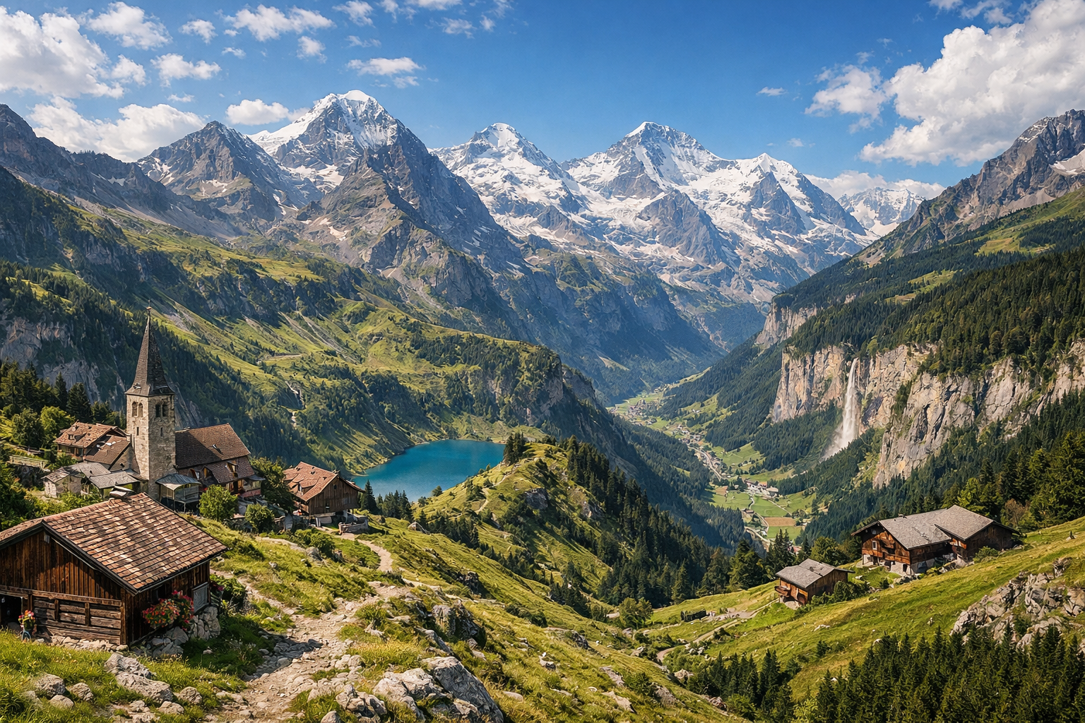
Switzerland delivers one of its most dramatic alpine walks on the Via Alpina, from Meiringen through Grindelwald to the waterfalls and cliffs of Lauterbrunnen. This is a demanding high-mountain trek, best from July to September, with big passes, glacier views, and classic Bernese Oberland scenery at every turn.

🥾 ROUTE BY DAY

Ready-made country and city routes with daily plans, sights, transport and accommodation. Buy PDF guides for independent travel.

🥾 ROUTE BY DAY


Day 1 — Meiringen: Aare Gorge and Reichenbach Falls

  • 🥾 It’s best to make the first day an acclimatization day, but it will still be very scenic: a morning walk through Aareschlucht and a stroll to Reichenbach Falls. This is a forest + canyon + waterfall valley kind of day. The active part takes about 4–5 hours with breaks, the total distance is around 8–10 km, and the elevation gain is moderate — about 250–400 m depending on whether you hike up to the Reichenbach viewpoints or use the funicular. The difficulty for this day is easy. The Aare Gorge is known for its safe boardwalks and reinforced paths; the official route through the gorge itself is short, about 1.4 km, so it is perfect for a regular tourist without special equipment. Then you can continue to Reichenbach Falls: no mountaineering is needed there, the route is popular, straightforward, and suitable as an easy warm-up walk before the main Via Alpina days. From July to September it is comfortable here, but after rain the walkways and stone sections can be wet and slippery, so footwear with good grip is necessary. In season, it’s worth coming to the gorge early before the crowds build up. It’s also a good idea to check the opening hours of the gorge and the funicular the day before, as they may have seasonal and weather-related restrictions.


Day 2 — Meiringen → Grindelwald: Via Alpina via Grosse Scheidegg

  • 🥾 This is the first full day on the Via Alpina itself: the crossing from Meiringen to Grindelwald via Grosse Scheidegg. The character of the day is mountain valley, alpine meadows, forest stretches, and broad scenic sections. This is already a serious hiking day: about 8 hours of active walking, a distance of around 23 km, elevation gain of about 1500 m, and descent of around 1060 m. In terms of overall physical effort, the difficulty is high, but the route remains a hiking trail: it is a well-known marked SwitzerlandMobility/Via Alpina path without glaciers, helmets, ropes, or technical climbing. It is suitable for a fit regular tourist with good endurance if you start early, hike in stable weather, and take regular breaks. Along the way, the scenery gradually changes from the green slopes of Haslital to open pass terrain and classic Bernese Oberland views. In July there may be hot hours on exposed sections, and in early July or after a cold front there can still be patches of snow along the edge of the trail on the pass, so be sure to check trail conditions in the morning. After rain, the day becomes noticeably harder because of the wet dirt trail and the longer time on the move. Plan with plenty of daylight in reserve and don’t start late: this is a long crossing, not a half-day walk.

Day 3 — Grindelwald → Lauterbrunnen: Via Alpina via Kleine Scheidegg

  • 🥾 The third day continues the route along the Via Alpina from Grindelwald to Lauterbrunnen via Kleine Scheidegg. In character, this is one of the most beautiful days of the whole tour: alpine pastures, wide panoramas, mountain slopes, and a long dramatic descent into the waterfall valley. The active part usually takes about 6.5 hours, the distance is roughly 19.5 km, elevation gain is about 1150 m, and descent is around 1390 m. In terms of total effort, it is a high-difficulty day, but the trail itself remains tourist-friendly and well known: this is an official Via Alpina section where no special equipment is required. For a regular tourist, the route is realistic with good basic fitness and an early start. The stretch approaching Kleine Scheidegg and then continuing toward Wengen is especially beautiful, with views of Eiger, Mönch, and Jungfrau, after which the trail gradually drops into the famous vertical valley of Lauterbrunnen. In the July–September season, it is important to consider the weather: in fog the views can almost disappear, in rain the long descent becomes tiring on the knees, and during thunderstorms you should not linger on high exposed sections. If your energy is running low or the weather is worsening, there are railway descent options in the Kleine Scheidegg area — a useful backup for a regular traveler.

Day 4 — Lauterbrunnen: valley walk to Staubbach and Trümmelbach

  • 🥾 It’s best to make the final day a recovery day: a calm nature walk through the Lauterbrunnen Valley to the Staubbach and Trümmelbach waterfalls. The character of the day is valley, river, meadows, forest edges, and waterfalls in sheer rock walls. The active part takes about 3–5 hours depending on pace and whether you walk back or return by bus, the distance is usually 7–11 km, and the elevation gain is small — around 100–250 m. The difficulty is easy. This is an excellent day for a regular tourist without special equipment: the valley paths are straightforward, popular, and do not require difficult navigation. Trümmelbach Falls is a developed site inside the rock, and the trail from Lauterbrunnen to it follows a convenient low-level route. A day like this helps finish the crossing nicely without overloading the body after two long Via Alpina stages. From July to September the waterfalls are especially impressive after rain and during active snowmelt, but inside Trümmelbach it can be damp, noisy, and cool, so a light jacket is useful. It is also important to remember that the site operates on a schedule, and access for small children and dogs is restricted by safety rules. If you do not want to walk back, you can return by local bus from the valley.

Flight tickets

eSIM for travel

Buy PDF guide

Buy PDF guide — 8.57 USD

PDF — 8.57 USD