
Buy PDF guide

Buy PDF guide — 10.71 USD

PDF — 10.71 USD

Switzerland. Hiking routes of the Swiss National Park and Engadin. Difficulty: medium. season: July - September.

Switzerland. Hiking routes of the Swiss National Park and Engadin. Difficulty: medium. season: July - September.

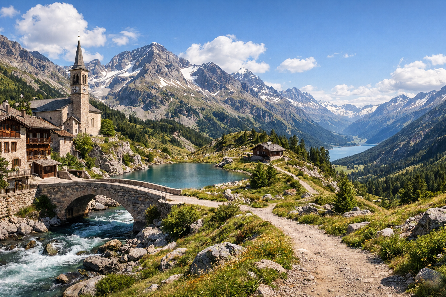
Discover Switzerland on a rewarding summer trek from Zernez through the wild landscapes of the Swiss National Park to elegant Pontresina in the Upper Engadin. From July to September, medium-difficulty trails lead past larch forests, alpine valleys, and crisp mountain views in one of the country’s most beautiful hiking regions.

🥾 DAY-BY-DAY ITINERARY

Ready-made country and city routes with daily plans, sights, transport and accommodation. Buy PDF guides for independent travel.

🥾 DAY-BY-DAY ITINERARY


Day 1 — Zernez: getting to know the park and an easy walk in Val Mingèr

  • 🥾 It’s best to make the first day an acclimatization day and not too long. In the morning — arrival in Zernez, the main gateway to the Swiss National Park, and a short visit to the National Park Centre, where it’s convenient to check trail conditions, the forecast, and visiting rules. Then — head to the start of the walk in Val Mingèr from the Scuol side / stop near the entrance to the valley. This is a calm valley walk through a natural area with forest, a river, and wide open sections for watching deer. Active part of the day: approximately 3–4 hours in an out-and-back format, difficulty easy–moderate, approximate distance 8–10 km, elevation gain about 250–350 m depending on the turnaround point. The route is suitable for a regular traveler because it follows a well-known marked trail with no technical sections, no climbing, and no special gear. In July–September the trails are usually accessible, but after rain some sections may be wet; on a hot day it’s better to start early, and by September it’s worth considering the earlier sunset and cool morning. Strict rules apply in the national park: do not leave the trail, do not picnic wherever you want, do not make noise, and do not bring dogs.


Day 2 — Swiss National Park: Val Trupchun, a classic valley trail

  • 🥾 This is one of the best days of the whole tour: Val Trupchun is a famous national park valley known for its scenery, larches, alpine meadows, and chances to see wildlife. The character of the walk: mountain valley and park, roaring river, broad trail leading deep into the valley. Travelers usually go from the S-chanf / Prasüras area on an out-and-back route. Active part of the day: about 4–5 hours, difficulty moderate, approximate distance 13–14 km, elevation gain about 450–550 m. This is a very suitable route for a regular traveler without special gear: the trail is popular, well known, straightforward to navigate, and does not require mountaineering skills. The main thing is not to try extending the route into higher passes. In summer there can be bright sun and little shade in open sections, so water, a cap, and rain protection are essential. After heavy precipitation and at the beginning of the season, it is always useful to check the trail status at the visitor center. If you want a calmer day, you can shorten the walk to a comfortable turnaround point and return the same way.

Day 3 — Il Fuorn and Margunet: a forest nature trail with a gentle climb

  • 🥾 The third day is dedicated to one of the best safe routes inside the park — the Il Fuorn – Stabelchod – Margunet nature trail. This is no longer just a valley, but a beautiful route through conifer forest, alpine clearings, and scenic sections where marmots are often seen. Active part of the day: about 3.5–4.5 hours, difficulty moderate, approximate distance 8–10 km, elevation gain about 350–500 m depending on the exact start and finish plan. Why it suits a regular traveler: this is an official and popular route, without dangerous technical stretches, without glaciers, and without any need for safety equipment; regular trekking shoes or boots are enough. The character of the walk is forest, high alpine meadows, and panoramic views, but in a safe “tourist-friendly” format. In July and August it is especially beautiful because of the blooming meadows, and in September because of the golden larches. It is important to start no later than the morning, because buses over the pass and return logistics require attention to the schedule; in rain, tree roots and the ground can be slippery.

Day 4 — Pontresina: Lej da Staz and Stazerwald forest, an easy day after the transfer

  • 🥾 After the national park, it makes sense to switch your base to Pontresina and have an easier day. The ideal option is a walk to Lej da Staz through Stazerwald forest. This is a very pleasant route for relaxing: lake, quiet conifer forest, gentle trails, open shores, and classic Upper Engadin views. Active part of the day: about 1.5–3 hours depending on the chosen loop, difficulty easy, approximate distance 4.5–7 km, elevation gain usually up to 100–150 m. The route is perfect for regular travelers without equipment, families, and those who want to recover after two more demanding days: the trails are well known, safe, and well trodden. The character of the walk is forest and lake, with the option to sit peacefully by the shore or combine the walk with lunch. Seasonal nuances: in summer it can be crowded here in the middle of the day, so for peace and quiet it’s better to go in the morning or closer to evening; after rain some forest sections are damp, but overall the route remains one of the most accessible in the region.

Day 5 — Muottas Muragl and Upper Engadin panoramas, or a valley walk in Val Roseg

  • 🥾 The final day is panoramic, but without extremes. The best option for a beautiful end to the tour: take the funicular up to Muottas Muragl and do a short or medium scenic walk on the marked trails near the upper station. The character of the walk is a mountain panorama trail and viewpoints above the lake landscape of the Upper Engadin. Active part of the day: 2–4 hours, difficulty easy–moderate, distance usually 3–7 km, elevation gain minimal or moderate if you choose the shorter panoramic sections. This day suits a regular traveler because the ascent is done by funicular, and you can walk on safe, well-known trails without exposure and without alpine gear. If the weather turns bad or it is cloudy at the top, a sensible alternative is Val Roseg from Pontresina: a broad valley walk on one of the region’s most beautiful and easy trails, usually 4–5 hours out and back, about 14–16 km, with a small elevation gain of around 200–300 m. In July–September both options are good, but for Muottas Muragl you should check the funicular operation and visibility in advance, and for Val Roseg you should pace yourself for a long but technically simple walk.

Flight tickets

eSIM for travel

Buy PDF guide

Buy PDF guide — 10.71 USD

PDF — 10.71 USD