
Buy PDF guide

Buy PDF guide — 6.43 USD

PDF — 6.43 USD

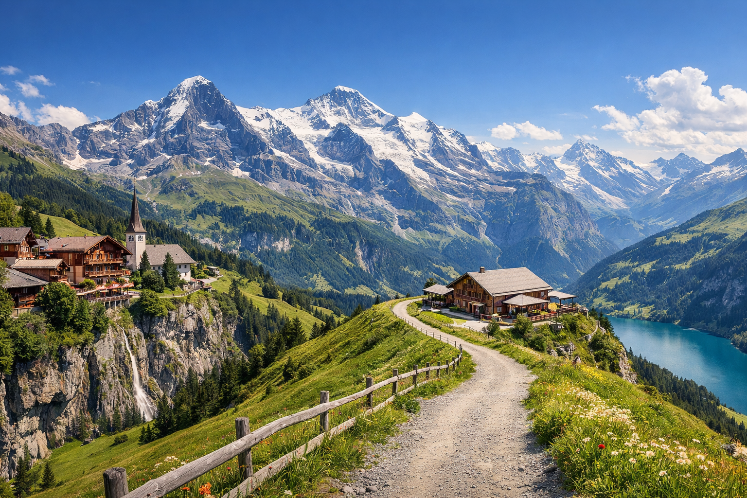
Switzerland. Panoramic trails of the Jungfrau region. Difficulty: easy or moderate. Season: June - September.

Switzerland. Panoramic trails of the Jungfrau region. Difficulty: easy or moderate. Season: June - September.

Switzerland’s Jungfrau region serves up panoramic trails through flowered meadows, cliffside paths, and classic Alpine views at every turn. From Lauterbrunnen to Männlichen, Kleine Scheidegg, and Grindelwald-First, these easy to moderate hikes are at their best from June to September.

🥾 DAY-BY-DAY ROUTE

Ready-made country and city routes with daily plans, sights, transport and accommodation. Buy PDF guides for independent travel.

🥾 DAY-BY-DAY ROUTE


Day 1 — Lauterbrunnen: waterfall valley, meadows, and the Trümmelbach gorge

  • 🥾 This is a gentle introductory day in the format of a valley walk: green meadows, village paths, sheer cliffs, waterfalls, and a calm pace without serious elevation gain. Start in Lauterbrunnen at Staubbach Falls, which are reached by a short walk from the village center; in good weather, you can climb the path to the viewing gallery behind the waterfall. Then continue through the valley toward Trümmelbach Falls and farther along the flat trail to Stechelberg if you still have energy and the weather remains stable. The active part of the day usually takes 3.5–5 hours at an unhurried pace; if you limit yourself to the Lauterbrunnen — Trümmelbach — back section, it will be an easy day of about 2.5–3.5 hours. Difficulty is easy, distance is usually 6–10 km depending on where you turn around, and elevation gain is small — about 50–150 m. The route suits an average traveler because it follows well-known and clearly marked valley paths, stays near villages and bus stops, and has no alpine exposure and no need for special equipment. The June–September season is especially good here: in June and early July the waterfalls are fuller because of snowmelt, but the paths may be wet and slippery after rain; on hot midsummer days it is better to start in the morning; in rain, the gallery at Staubbach and the approaches to Trümmelbach can be very wet. Trümmelbach has opening hours and safety rules, so it is worth checking entry and current status on the day of your visit. The final section to Stechelberg can be shortened if needed, and you can return by bus.


Day 2 — Männlichen → Kleine Scheidegg: the classic panoramic mountain trail

  • 🥾 Today is the region’s main panoramic mountain hike, but in the most comfortable format for a regular traveler. Take a cable car or a train with a transfer up to Männlichen, then walk the famous Männlichen → Kleine Scheidegg trail. This is one of the region’s most popular scenic routes: along the way you get wide views of the Eiger, Mönch, and Jungfrau massifs, alpine meadows, and gentle rolling slopes. The active walking part usually takes about 2–3 hours of pure walking time, but with photo stops and rest it is better to allow 3.5–4.5 hours. Approximate distance is about 7 km, elevation gain is small, and the overall profile is fairly comfortable, with light ascents and descents; roughly +50 m / -400 m. Difficulty is easy or moderate: the trail is wide, well-known, well-marked, and usually requires nothing more than comfortable shoes, water, and a windproof layer. That is exactly why it is an excellent choice without mountaineering experience, without helmets, without rope protection, and without technical sections. An important seasonal detail: the route depends on lift operations and the condition of the high-mountain trail. In June, some sections may still not open immediately after winter, while in September conditions are usually very pleasant, but mornings are already cooler and clouds can quickly hide the panoramas. After rain or in fog, the path remains accessible, but the views will be weaker, so it is better to choose a clear weather window and start early. From Kleine Scheidegg, you can conveniently take a train back to Wengen, Lauterbrunnen, or Grindelwald.

Day 3 — Grindelwald-First: Lake Bachalpsee and a gentle alpine day

  • 🥾 The final day is devoted to a mountain lake and scenic trail above Grindelwald. First, get to Grindelwald, then take the gondola up to First and walk the area’s most popular easy route — First → Bachalpsee → First. This is a relaxed walk to a famous alpine lake where, in calm weather, the peaks and sky are reflected in the water; the scenery combines mountain meadows, a wide trail, and an open panorama. The official time for the route is about 1 hr 40 min – 1 hr 50 min of pure walking, but in practice it is better to allow 2.5–4 hours with rest, photos, and a pause by the lake. Distance is about 5.8–6 km round trip, with elevation gain of about 200 m. Difficulty is easy / moderate: this is one of the best options for regular tourists because the start is at the upper lift station, the trail is very popular and easy to follow, navigation is simple, and the route requires no special equipment. If you want a very short day, you can simply walk to the lake and back; extensions to Faulhorn are intentionally not included in this itinerary in order to keep the format safe and non-technical. Seasonally, it is important to remember that in June there may still be patches of snow by the lake and on shaded sections, and weather at altitude changes faster than in the valley. From July to September, the route is usually at its most comfortable, but even in summer you need a wind layer, sun protection, and a morning check of trail status and Firstbahn operations.

Flight tickets

eSIM for travel

Buy PDF guide

Buy PDF guide — 6.43 USD

PDF — 6.43 USD