
Buy PDF guide

Buy PDF guide — 8.57 USD

PDF — 8.57 USD

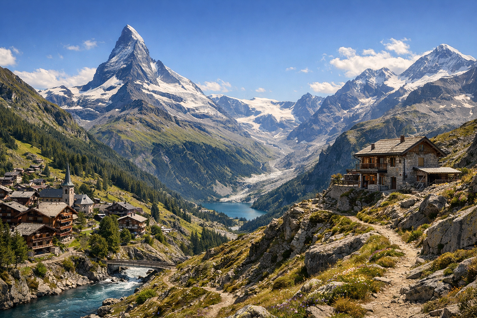
Switzerland. Panoramic trails of the Matterhorn and Zermatt. Difficulty: high. format: on foot, with overnight stays in Zermatt and mountain huts. season: July - September.

Switzerland. Panoramic trails of the Matterhorn and Zermatt. Difficulty: high. format: on foot, with overnight stays in Zermatt and mountain huts. season: July - September.

Take on a high-alpine trek through Switzerland’s Matterhorn country, where panoramic trails link Täsch, Zermatt, Fluhalp, and Randa beneath some of the Alps’ most dramatic peaks. From July to September, this demanding route rewards strong hikers with unforgettable views and atmospheric overnight stays in Zermatt and remote mountain huts.

🥾 DAY-BY-DAY ROUTE

Ready-made country and city routes with daily plans, sights, transport and accommodation. Buy PDF guides for independent travel.

🥾 DAY-BY-DAY ROUTE


Day 1 — Zermatt: the 5-Seenweg five lakes route

  • 🥾 The main start of the trip is the classic 5 Lakes Walk in the Sunnegga–Blauherd area. This is a high-altitude but well-known and safe scenic walk through alpine lakes, meadows, and gentle mountain slopes with constant views of the Matterhorn. The route is usually done from Blauherd to Sunnegga so that most of the day is a comfortable descent. A good estimate for the active part is about 3.5–4.5 hours of walking, roughly 11.3 km, elevation gain of about 265 m, and descent of about 540 m. Formally, this day can be considered high difficulty for this tour because of the altitude, length, and rocky sections, but the trail itself remains suitable for a regular traveler without special equipment: it is a marked, popular route with no glaciers, ropes, or technical climbing. Along the way are Lakes Stellisee, Grindjisee, Grünsee, Moosjisee, and Leisee: some offer perfect reflections of the Matterhorn, others have a wilder and calmer atmosphere, and the finish at Leisee is excellent for a long break before descending. It is best to start in the morning so you can comfortably catch the lifts and complete the route before afternoon thunderstorms. In the July–September season, the trail is usually in its best condition, but after fresh snowfall, heavy rain, or fog, visibility can deteriorate sharply and some sections may become slippery. It is also useful to check in advance the operation of the Sunnegga funicular and the lift to Blauherd, because weather and technical changes are possible in the Alps.


Day 2 — Fluhalp: panoramic crossing with an overnight stay in a mountain hut

  • 🥾 The second day is a more substantial and atmospheric crossing toward Fluhalp, where you get open high-alpine panoramas, alpine meadows, rocky terraces, and scenic sections above the lakes. A realistic and comfortable option for a regular traveler is to go up again to the Blauherd area and follow the well-marked trails via the Stellisee area or nearby viewpoints to the Fluhalp mountain hut, and then take short light walks around the hut. The active part of the day will be about 4–5 hours of walking depending on the chosen combination, usually 8–12 km with moderate but noticeable elevation gain within 300–500 m. Overall, this is high difficulty for a prepared hiker because of the altitude and duration, but the route remains non-technical: no glacier, no helmets, no ropes, and no overnight camping. An overnight stay at Fluhalp gives a rare chance to see the evening light over the Matterhorn massif and wake up right in the alpine landscape without venturing into dangerous mountaineering. In July and early August, damp snow patches may still remain near the trail, or there may be very cold wind even on a sunny day, so a warm layer, a waterproof shell, and an early start are needed. It is better to book places in the hut in advance, especially for weekends and peak season.

Day 3 — Randa and Europa Hut: the Charles Kuonen suspension bridge

  • 🥾 The third day is devoted not to lakes but to the Mattertal mountain valley, forest switchbacks, rocky slopes, and one of the most impressive suspension bridges in the region. From Zermatt, it is convenient to take the train in the morning to Randa and follow the popular route toward the Charles Kuonen Suspension Bridge and, if you have the energy, farther to Europa Hut. This is a well-known marked hike without special equipment, but it is noticeably steeper and physically harder than the lakeside walks: expect 5–7 hours of active walking for the option to the bridge and back, or longer if adding the section to the hut; the distance is usually 8–13 km depending on the turnaround point, with elevation gain of around 800–1000 m. For this tour, the day is considered high difficulty, but it is still suitable for a regular traveler in good shape because the path follows an official popular trail, does not require mountaineering skills, and does not go onto a glacier. The main impression is the gradual ascent from the green valley into a harsher mountain world and the crossing of the long bridge over the gorge. If you feel tired, it is enough to reach the bridge, take a break, and return the same day to Zermatt; if you want a fuller mountain experience, you can stay overnight at Europa Hut. Important seasonal details: after rain the switchbacks may be slippery, on hot days it is better to start the ascent early, and in windy weather stability and a calm pace are especially important on the bridge. This route should be canceled if thunderstorms are forecast.

Day 4 — Zermatt: Gorner Gorge and a gentle panoramic finale at Riffelsee or Furi

  • 🥾 It is best to make the final day more restorative, but still very beautiful. In the morning, a walk through forest, gorge, and the wooden galleries of Gorner Gorge in the Furi and Blatten area works well, and then — depending on how you feel — a short panoramic add-on in one of the most photogenic places in the region. The active part usually takes 2–4 hours without much rushing; if you limit yourself to the gorge and a forest walk, this is a light to moderate effort, and if you also go up to Riffelsee via the Gornergrat Bahn and walk a short section by the lake, it becomes a day of moderate difficulty. The gorge itself is suitable for a regular traveler because it is accessible by equipped walkways and popular trails without technical elements; the walk to Riffelsee also remains safe in normal weather and with comfortable footwear. This day works well as a backup: if one of the previous high-alpine routes falls through because of clouds or wind, this is where you can move the scenic part. In July–September, keep in mind that even in summer the mountains can have sudden weather changes, and at viewpoints the best light is often early in the morning or closer to evening. For Riffelsee, it is useful to leave earlier to see calm water and fewer people.

Flight tickets

eSIM for travel

Buy PDF guide

Buy PDF guide — 8.57 USD

PDF — 8.57 USD