
Buy PDF guide

Buy PDF guide — 8.57 USD

PDF — 8.57 USD

Switzerland, Canton of Jura. Les 66 du Doubs: a four-day circular hiking route from Saint-Ursanne along the Doubs River, through the forests, ridges, and villages of the Clos du Doubs region. Difficulty: moderate or high. Season: May - September.

Switzerland, Canton of Jura. Les 66 du Doubs: a four-day circular hiking route from Saint-Ursanne along the Doubs River, through the forests, ridges, and villages of the Clos du Doubs region. Difficulty: moderate or high. Season: May - September.

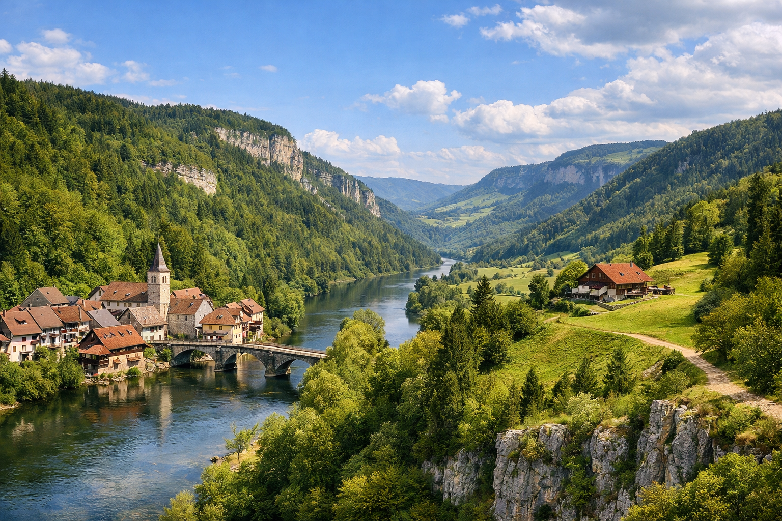
Discover the wild beauty of Switzerland’s Jura on Les 66 du Doubs, a four-day circular hike beginning and ending in the medieval town of Saint-Ursanne. Following the Doubs River through deep forests, ridge paths, and quiet villages like Montenol, Soubey, and Ocourt, this moderate to challenging route is best enjoyed from May to September.

🥾 ROUTE BY DAY

Ready-made country and city routes with daily plans, sights, transport and accommodation. Buy PDF guides for independent travel.

🥾 ROUTE BY DAY


Day 1 — Saint-Ursanne → Montenol → Epauvillers: starting the loop through forests and panoramic ridges

  • 🥾 The first day is devoted to leaving medieval Saint-Ursanne for the southern heights of the Les 66 du Doubs route. This is a classic walk through Jura landscapes: shady forest sections, open pastures, farming plateaus, and gentle limestone climbs with wide views over the Doubs valley. The active part of the day usually takes about 5.5–6.5 hours of walking; the distance is roughly 18–20 km, with around 750–900 m of ascent. The difficulty is closer to high for an average hiker, not because of technical challenges, but because of the stage length and the series of climbs. The trail is suitable without special equipment: it is a marked regional route that follows regular walking paths, rural roads, and forest trails, with no alpine sections, glaciers, or dangerous ridges. It is best to start in the morning from Saint-Ursanne after a quick check of the weather and your water supply. In May, shaded sections can be damp and slippery after rain; in summer, sun protection and water are important; and in September the day is already shorter, so a late start is not recommended. Overnighting is convenient in the Epauvillers area or with a transfer back to Saint-Ursanne if you want to keep a single base.


Day 2 — Epauvillers → Soubey: villages, pastures, and descent into the Doubs valley

  • 🌲 The second day continues the loop through the rural and wooded Clos du Doubs: rolling plateaus, pastures with scattered farms, forest edges, and a gradual approach to the deeper landforms above the river. The active part usually takes around 4.5–5.5 hours; the distance is roughly 14–17 km, with about 450–650 m of ascent. In feel, this is a moderately difficult day: easier than the first, allowing you to walk at a comfortable pace and stop more often for the views. The route is good for regular hikers because this is not high mountain terrain, but a well-known marked trail through safe Jura countryside, where trekking shoes or comfortable boots, a rain jacket, and a snack are usually enough. Closer to Soubey, the atmosphere becomes especially calm: you can feel the nearness of the river, the forests grow denser, and the villages seem cut off from hurry. In rainy weather, some dirt sections can become muddy; after heavy precipitation, it is better to check the condition of local trails and footbridges at the tourist office. In the warmer months, this is one of the most pleasant stages for an unhurried day in nature.

Day 3 — Soubey → Ocourt: a day along the Doubs through the valley, river bends, and quiet banks

  • 💧 The third day is one of the most scenic on the entire route: a crossing through the Doubs valley with a constant sense of water, limestone slopes, and wooded banks. Here the character of the walk changes: fewer open plateaus and more river scenery, shady sections, meadows by the water, and calm transitions between small settlements. You should allow about 5–6 hours for the active part; the distance is roughly 15–18 km, with around 350–550 m of ascent. The difficulty is moderate: the stage is long, but usually without extremely steep climbs, so it suits hikers without special equipment and without experience in difficult navigation. This is the day when it is especially pleasant to keep a steady pace, taking breaks by the river and at viewpoints. On hot days, the valley can feel close and humid, so an early start and at least 1.5–2 liters of water per person are needed. After heavy rain, riverside trails can be slippery, and it is useful to check the forecast and local warnings before setting out. If desired, you can simplify the logistics with public transport from Ocourt back to your base.

Day 4 — Ocourt → Saint-Ursanne: final climb and return to the medieval town

  • ⛰️ The final day closes the Les 66 du Doubs loop and brings you back to Saint-Ursanne through terrain typical of the Jura: forest trails, ridge sections, openings with views over the meanders of the Doubs, and a gentle but noticeable gain in elevation before the finish. For this crossing, it is reasonable to allow 4.5–6 hours; the distance is roughly 14–16 km, with about 600–800 m of ascent. The difficulty is moderately high because of accumulated fatigue and the final climb, but the route still remains a hiking trail safe for regular walkers: no helmets, ropes, via ferrata, or alpine techniques are needed. The well-marked Swiss trails allow you to walk confidently if you do not rush and keep an eye on the time. The finish in Saint-Ursanne is especially beautiful at the end of the day, when the stone bridge, towers, and bend of the river create the feeling of a completed grand loop. In May and early June, mornings can be cool, and in September it is important to account for the earlier sunset. If the weather worsens, this is the easiest day to shorten or adapt, because the finish is connected to a railway station and local bus service.

Flight tickets

eSIM for travel

Buy PDF guide

Buy PDF guide — 8.57 USD

PDF — 8.57 USD