
Buy PDF guide

Buy PDF guide — 12.85 USD

PDF — 12.85 USD

Switzerland and Italy. Tour du Saint-Bernard: circular trek around the Great St Bernard Pass. Difficulty: high. Season: July - August.

Switzerland and Italy. Tour du Saint-Bernard: circular trek around the Great St Bernard Pass. Difficulty: high. Season: July - August.

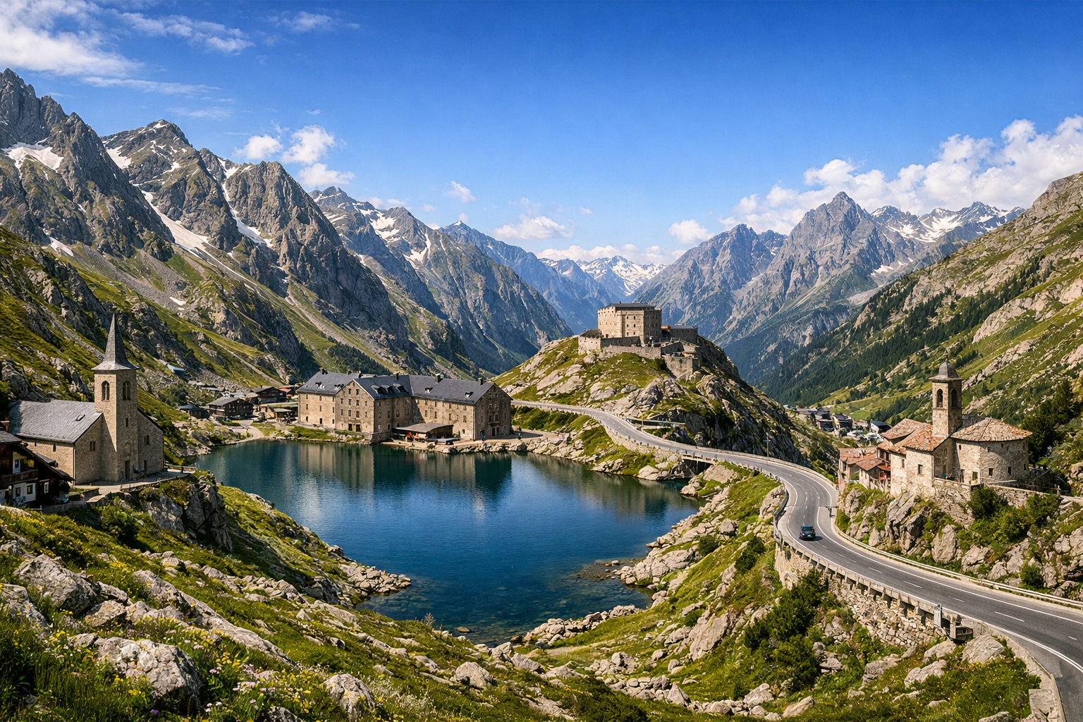
Circle the Great St Bernard Pass on a demanding alpine trek linking Switzerland and Italy through high cols, remote valleys, and stone-built mountain villages. From Bourg-Saint-Pierre to Saint-Rhémy-en-Bosses and Valpelline, this July-to-August route rewards strong hikers with dramatic panoramas and a true cross-border adventure.

🥾 DAY-BY-DAY ROUTE

Ready-made country and city routes with daily plans, sights, transport and accommodation. Buy PDF guides for independent travel.

🥾 DAY-BY-DAY ROUTE


Day 1 — Bourg-Saint-Pierre: acclimatization by Lac des Toules and the alpine valley

  • 🥾 On the first day, it’s best to take an easy walk on the Swiss side around Lac des Toules and along the lower parts of the valley above Bourg-Saint-Pierre. This is a day of forest, a high-altitude reservoir, pastures, and wide views of the harsh Valais slopes. The active part of the day is about 3–4 hours, difficulty easy, estimated distance 7–10 km, with elevation gain usually 200–350 m depending on the loop chosen. The route suits an ordinary traveler because it follows well-known marked trails and dirt roads without technical sections and without any need for climbing gear. It’s a good day to get used to the altitude and test your boots and pace before longer walks. In July and August the season here is already stable, but higher up on pass sections there may still be patches of snow after a cold spring, so it’s worth checking trail conditions at the tourist office or hotel. It’s best to start in the morning: clouds and short thunderstorms are common in the mountains after lunch.


Day 2 — Col du Grand-Saint-Bernard: circular walk to Lacs de Fenêtre

  • 🥾 This is the most spectacular day of the route on the Swiss-Italian border: a loop trail to Lacs de Fenêtre from the Hospice du Grand-Saint-Bernard area. The walk features high alpine meadows, rocky but non-technical trails, lakes, panoramas of the Mont Blanc massif, and the broad saddles of the pass. The active part of the day is about 4:45–5:30, difficulty moderate, estimated distance 10–12 km, with elevation gain of about 450–550 m. This trail is considered one of the classic walks of the area and suits an ordinary traveler with good basic fitness: the route is popular, marked, and usually completed without special equipment in the height of summer. The only essentials are comfortable boots, protection from wind and rain, water, and avoiding bad weather. The seasonal detail is critical: it makes sense to plan this route specifically for July–August, when the pass road and tourist infrastructure are operating, and snowfields, if any remain, are usually small. In fog and strong wind, it’s better to simplify the day and limit yourself to a walk by the lake and the Hospice.

Day 3 — Saint-Rhémy-en-Bosses: gentle valley walk and the Italian side of the pass

  • 🥾 After a high-altitude day, it makes sense to switch to a calmer Italian rhythm: a walk in the Saint-Rhémy-en-Bosses area along valley trails and pastures with views of the upper Valle del Gran San Bernardo. The walk features an alpine village, meadows, forest sections, old roads, and streams; the active part of the day is 2.5–4 hours, difficulty easy, estimated distance 6–9 km, elevation gain 150–300 m. This kind of day is especially good for recovery: the trails are lower, easier in terrain, and require neither a helmet, nor rope protection, nor confident movement on scree. You can add a short visit to the tourist office at the pass or down below to check the weather and road access conditions. In July and August it is usually warmer below than at Colle del Gran San Bernardo itself, so be sure to bring water and a hat. If the forecast is unstable, this is the most convenient day to keep as a backup or the most flexible one.

Day 4 — Valpelline / Bionaz: walk from Place Moulin to Rifugio Prarayer

  • 🥾 Moving to Valpelline reveals a different character of the Alps: a long turquoise reservoir, conifer-covered slopes, and a broad valley by Lago di Place Moulin. The classic safe walk here is from the Place Moulin dam to Rifugio Prarayer and back. The route features a lakeside trail, forest, waterfalls, a mountain valley, and magnificent reflections of the peaks in the water. The active part of the day is about 3.5–5 hours, difficulty easy / moderate, distance about 11–14 km round trip, with elevation gain usually 250–350 m. This hike is excellent for ordinary travelers: the trail is popular, straightforward, free of technical obstacles, and often chosen even by families with good stamina. The main thing is not to try continuing higher onto more serious high-mountain routes. In summer it’s worth arriving early because of parking and softer light; after rain some sections may be wet, but overall this remains one of the most accessible and beautiful routes in the valley.

Day 5 — Valpelline: panoramic walk along the historic irrigation trails ru

  • 🥾 It’s best to devote the fifth day to a calm but very atmospheric walk along one of the historic trails along the ru — ancient irrigation channels of Aosta Valley in the Valpelline area. The walk features forest, balcony trails, villages, clearings, and long horizontal sections with beautiful views and no strenuous climbing. The active part of the day is 3–4.5 hours, difficulty easy, estimated distance 8–11 km, with elevation gain usually 100–250 m. For an ordinary traveler, this is one of the best formats: easy navigation, moderate terrain, and the option to finish early and rest. It’s especially pleasant here on a hot day because part of the route runs in the shade of the forest. The seasonal details are simple: after heavy rain the ground may be slippery, and in high season it’s worth checking in advance whether there are any local works or temporary restrictions on certain sections.

Day 6 — Return to the pass: Lake Grand-Saint-Bernard, the Hospice, and a short final walk

  • 🥾 The final day is best made more panoramic and easier: return to the Grand-Saint-Bernard area and take a short walk by the pass lake, the historic Hospice, and the nearest safe panoramic trails. The walk features a high-altitude lake, open landscapes, wind, a monastic complex, and the broad border between two countries. The active part is 1.5–3 hours, difficulty easy, distance 4–6 km, elevation gain 100–200 m. It’s a good way to finish the tour: minimum strain, maximum atmosphere. The route suits anyone who wants to feel the spirit of the legendary pass without doing the difficult full Tour du Saint-Bernard crossing. In July and August the Hospice museum and summer infrastructure are usually open, but at this altitude even in summer there can be cold wind and abrupt weather changes, so a warm layer is essential. If the forecast worsens, you can limit the day to just a lakeside walk and a visit to the museum section.

Flight tickets

eSIM for travel

Buy PDF guide

Buy PDF guide — 12.85 USD

PDF — 12.85 USD