
Buy PDF guide

Buy PDF guide — 15.00 USD

PDF — 15.00 USD

Lakes and Peaks of Interlaken

Lakes and Peaks of Interlaken

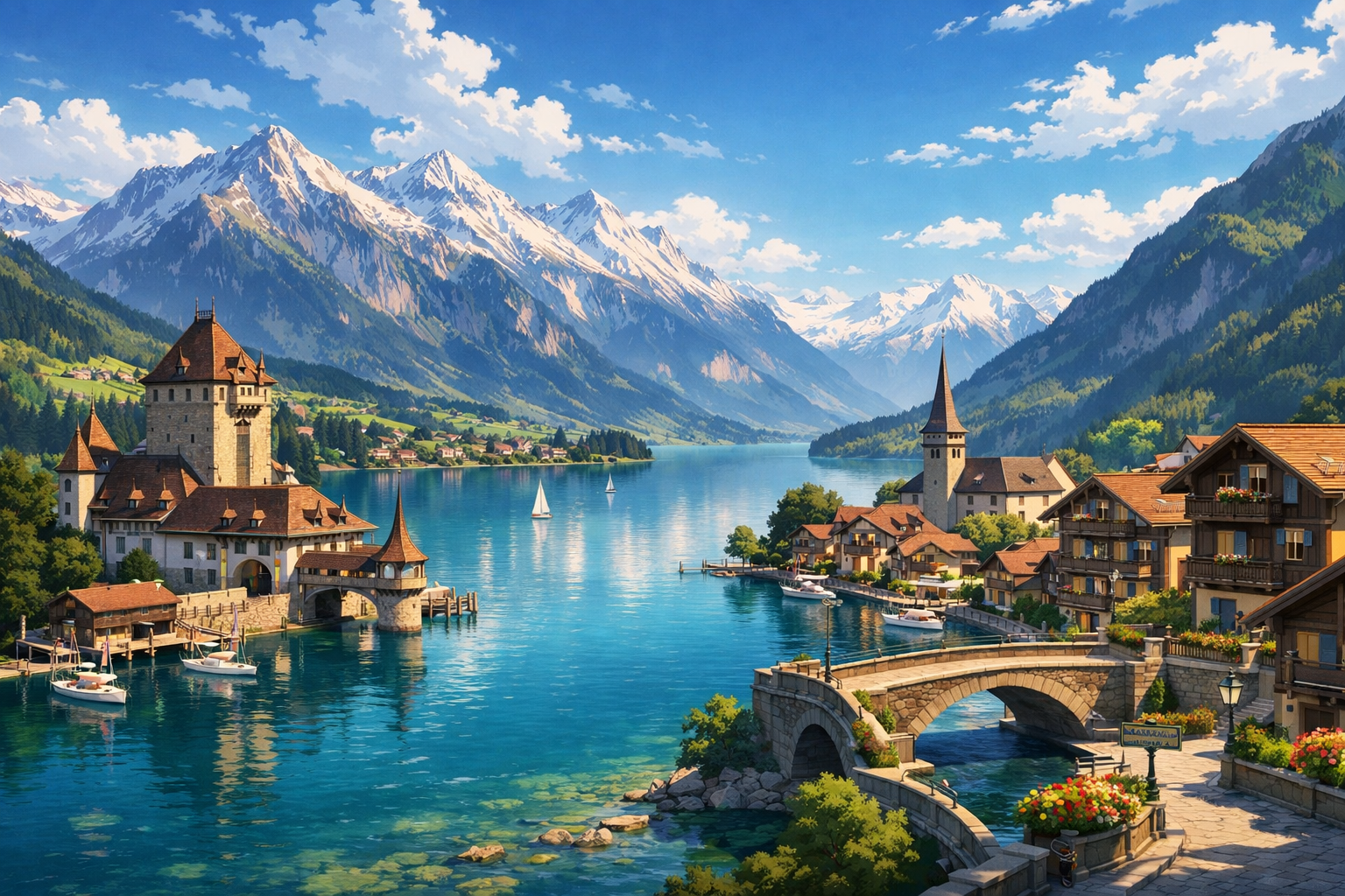
Discover the Lakes and Peaks of Interlaken, where turquoise water, steep mountain trails, and postcard-perfect villages create one of Switzerland’s most unforgettable journeys. From the heights of Beatenberg to the shores of Lake Brienz, through Meiringen and on to Kandersteg, every stop feels fresh, scenic, and quietly spectacular.

🥾 DAY-BY-DAY ROUTE

Ready-made country and city routes with daily plans, sights, transport and accommodation. Buy PDF guides for independent travel.

🥾 DAY-BY-DAY ROUTE


Day 1 — Interlaken: forest walk up to Harder Kulm

  • 🥾 On the first day, it’s best to do an acclimatization walk right from Interlaken: an ascent on the well-known trail to Harder Kulm through the forested slope above town. This is a classic route in the style of forest + viewpoint mountain + observation platform. The active part of the day takes about 3.5–4.5 hours if you hike up and descend by funicular, or about 2–3 hours if you limit yourself to a short walk at the top after taking the funicular up. If you walk up from below, the elevation gain is about ≈750 m, difficulty moderate; if you go up by funicular and walk only at the top, the outing will be easy. The route suits an average tourist because it is marked, popular, has no technical sections, and requires nothing more than comfortable shoes and a supply of water. From the top, you get views of two lakes at once, the Aare valley, and the famous panorama of Eiger, Mönch, and Jungfrau. It’s best to set out in the morning or closer to evening, but keep in mind that the forest trail is less comfortable to descend at dusk. In spring and autumn after rain, the ground may be slippery, and in the shoulder season it’s worth checking the funicular operating hours in advance so you don’t get stuck without a ride down.


Day 2 — Schynige Platte: panoramic trail through alpine meadows

  • 🥾 Today is one of the most beautiful yet accessible hiking days in the region: a trip from Interlaken via Wilderswil on the historic railway to Schynige Platte and a walk along the Swiss Flower & Panorama Trail. The character of the day is alpine meadows, scenic ridge, mountain panoramas, but without dangerous mountaineering terrain. The active part usually takes 2–3.5 hours, distance about 5.5–6 km, elevation gain is moderate at around ≈200–300 m, difficulty easy / moderate. It’s an excellent option for regular tourists: the trail is very popular, waymarked, you get up here by train, and the route itself is designed as a scenic walk rather than a serious mountain hike. Along the way there are carpets of alpine flowers, rolling slopes, wide-open views of the Jungfrau Region peaks, and the feeling of grand Switzerland without needing to walk for many hours. An important seasonal detail: the high mountain line and trails usually operate only in the warm season, and in early summer there may still be snow on some sections. In poor visibility, the day loses part of its magic, so it’s best to choose a clear forecast and check operating info in the morning.

Day 3 — Beatenberg: Niederhorn – Gemmenalphorn panorama

  • 🥾 The third day is dedicated to a classic route above Lake Thun: an ascent via Beatenbucht and Beatenberg to Niederhorn and a walk along the panoramic trail toward Gemmenalphorn. This is a route in the style of a mountain balcony above the lake, alpine pastures, viewpoint spots. If you do a comfortable out-and-back version along the most beautiful section, the active part will take 2.5–4 hours; the distance is usually 6–8 km depending on where you turn around, elevation gain ≈150–350 m, difficulty moderate. Why it suits an average tourist: a cable car brings you up here, the trail is wide and well known, navigation is clear, and you can shorten the walk at any time without risking getting stuck on a difficult section. In good weather, this is one of the most spectacular walks in the region: below shines Thunersee, ahead rises the wall of the Bernese Alps, and mountain ibex can sometimes be seen on the grassy slopes. But this is already a more exposed altitude than Harder Kulm, so be sure to bring a windproof layer even in summer. After rain and at the start of the season, some sections may be wet or snowy, so it’s better not to plan a late start and to check lift operations in advance.

Day 4 — Lake Brienz: lakeside trail Iseltwald – Giessbach

  • 🥾 After two panoramic mountain days, this is a gentler and very photogenic walk along Brienzersee: the Iseltwald – Giessbach Falls lakeside trail. The character of the day is lake, forest, lakeside path, waterfall. The active part usually takes 2–3 hours, distance about 6–7 km, elevation gain is small at around ≈150–250 m, difficulty easy. This route is especially good for regular tourists because it stays low, is easy to follow, runs along one of the region’s best-known walking paths, and gives maximum impressions without a hard climb. On the way: turquoise water, shaded forest sections, wooden footbridges, and the finale is the dramatic Giessbach Falls cascading down to the lake. You can conveniently return by BLS boat from Giessbach See pier if navigation is already running; in the shoulder season you’ll need to account for less frequent service and possibly return by bus via Brienz or Iseltwald. After heavy rain, the trail and the steps by the waterfall can be slippery. This is a great day for a relaxed pace, a picnic, and rest without overloading yourself.

Day 5 — Meiringen: Aareschlucht gorge and an easy valley walk

  • 🥾 Day five is a contrasting nature route in the style of a canyon, river, forest valley. From Interlaken it’s easy to get to Meiringen and Aare Gorge, then combine the gorge walk with a short stroll through the river valley. The passage through the gorge itself usually takes 45–60 minutes, and together with approaches and an extra walk, the active part of the day comes to 2–3 hours. Difficulty is easy, distance usually 4–7 km depending on the combination you choose, and elevation gain is minimal. This is one of the best options for tourists without special gear: instead of a mountain ascent, there are equipped galleries, walkways, and a safe visitor attraction with straightforward logistics. Inside the gorge, the narrow limestone walls, the roar of the turquoise water, and the cool air even on a warm day are especially impressive. Important details: the gorge is usually open seasonally, and entry hours should be checked in advance; inside it can be damp and colder than in Interlaken, so a light jacket is useful. After rain, the place remains visitable, but your footwear should have good grip. This day works well as a calmer, restorative one after the previous mountain walks.

Day 6 — Kandersteg: Oeschinensee and a scenic lakeside walk

  • 🥾 Day six is Switzerland’s picture-postcard nature scene: Oeschinensee above Kandersteg. The character of the walk is mountain lake, forest, amphitheater of peaks, viewpoints. For an average tourist, it’s best to choose a safe format: take the cable car up, then walk to the lake and along convenient scenic trails around the lower part of the area without heading onto difficult mountain routes. The active part takes 3–4.5 hours, distance usually 6–9 km, elevation gain ≈200–400 m, difficulty easy / moderate. This place suits beginners if you avoid routes that are specifically marked as requiring mountain hiking gear: by the lake there are popular family-friendly and scenic options, and the path from the upper station down to the water is well known. The water here is unbelievably blue, the cliffs reflect in the lake, and the trails give you that classic “alpine” scene without glacier risk. It is very important to monitor the current trail and cable car status: the official website publishes route openings and closures, and some higher sections may be closed because of snow or trail conditions. In peak season, it’s worth arriving early because of the large number of visitors.

Day 7 — Interlaken: St. Beatus Caves and the lakeside trail by Thunersee

  • 🥾 Make the final day beautiful but not strenuous: a trip to St. Beatus Caves on the shore of Thunersee and a walk on the nearby trail above the lake. The character of the day is caves, waterfall, forest, lake views. Visiting the caves themselves, including the approach and a walk around, usually takes 2–3 hours; if you add a section of the lakeside or hillside trail toward Beatenbucht, it becomes 3–4 hours of active time. Difficulty is easy, distance 4–6 km, elevation gain is moderate and mainly linked to the stairs up to the caves. This is a good day for an average tourist: the site is equipped for visitors, you can get there by bus, boat, or taxi, and the walk itself combines spectacle with a gentle physical load. Inside the caves it is cool and damp year-round, so even in summer you need a sweater or light layer. After heavy rain, it’s worth paying attention to warnings: in such conditions, the water in the cave system can intensify. If you want a very relaxed finale, you can limit yourself to the caves, viewpoints, and a slow coffee with a lake view without overloading the last day of the route.

Flight tickets

eSIM for travel

Buy PDF guide

Buy PDF guide — 15.00 USD

PDF — 15.00 USD