
Buy PDF guide

Buy PDF guide — 10.71 USD

PDF — 10.71 USD

Kokshetau. Hiking tour.

Kokshetau. Hiking tour.

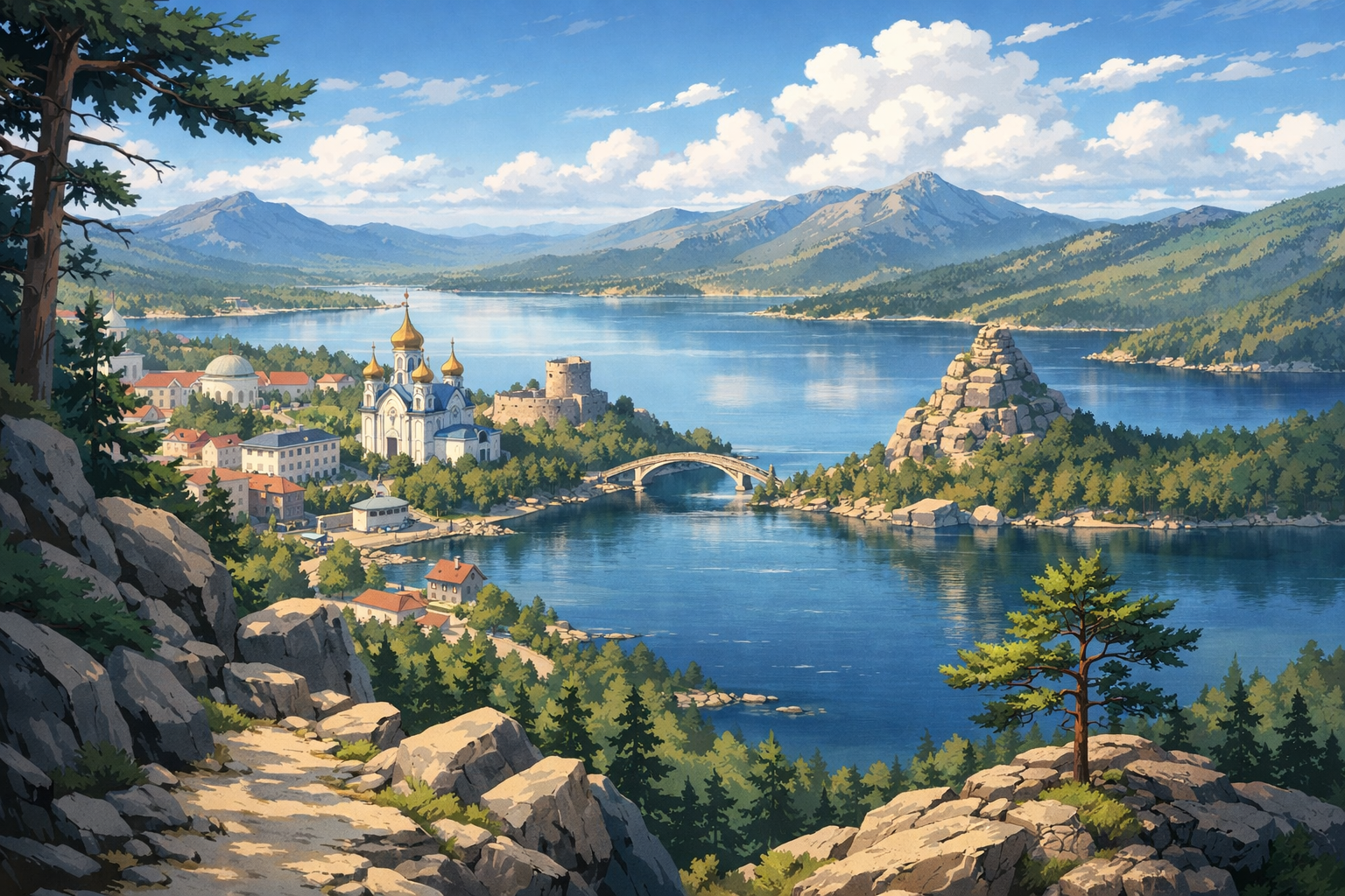
Discover the wild beauty of northern Kazakhstan on a hiking journey through Kokshetau, Zerenda, Burabay, and Shchuchinsk. Wander pine-scented forests, climb rocky ridges, and take in clear lakes and wide степpe horizons along the way.

🥾 DAY-BY-DAY ROUTE

Ready-made country and city routes with daily plans, sights, transport and accommodation. Buy PDF guides for independent travel.

🥾 DAY-BY-DAY ROUTE


Day 1 — Kokshetau: Kopa embankment and an easy walk along the city's natural waterfront

  • 🥾 It’s best to make the first day gentle and for acclimatization: a walk along Lake Kopa and through the green areas of the Kokshetau waterfront works well as an introductory hike without overexertion. The character of the walk is lake views, open scenery, steppe horizon, and a city park by the water. The active part of the day takes about 2–3 hours, difficulty is easy, and the distance is usually 5–7 km with almost no elevation gain. It’s a good day after the journey: you can walk at a calm pace, look at the shoreline, watch the sunset light over the lake, and not get tired before the next nature-filled days. The route suits an average traveler without special gear because the surface is simple, navigation is obvious, and if the weather worsens, the walk is easy to shorten. In the warm season, sun protection and water are important: open sections can be hot and windy during the day. After rain, some unpaved branches near the water may be damp, so it’s better to wear comfortable sneakers. If you arrive in late autumn or spring, sunset comes earlier, so it’s better not to start a long evening walk too late.


Day 2 — Zerenda: forest trail by the lake and panoramic hills of Kokshetau National Park

  • 🥾 From Kokshetau, it’s convenient to head to Zerenda and devote the day to walking through pine forests and along the shores of Lake Zerenda — one of the calmest and most realistic hiking options in the region. The character of the day is pine forest, lake, low granite hills, and viewpoints. The active part usually takes 3–5 hours, difficulty is easy or closer to moderate if you add an ascent to a panoramic hill. It’s realistic to plan 8–12 km for the day and elevation gain of about 150–250 m depending on the chosen loop. The route suits ordinary travelers because there are no technical sections, the elevation is low, and the trails and forest roads are clear for a relaxed walk. The main pleasure is the combination of conifer-scented air, water, and gentle terrain without extreme climbs. In summer, it’s better to set out in the morning: open sections are warmer in the middle of the day, and there are more отдыхающих by the water. After rain, forest paths can be slippery on roots and sand. In winter and the shoulder seasons, some informal trails may be snowed over or washed out, so it’s worth choosing the most obvious well-trodden lines by the lake and checking route conditions with locals or tourist information.

Day 3 — Burabay: ascent to Bolektau and a walk to Blue Bay

  • 🥾 This is one of the best days of the whole route: an easy scenic hike up Mount Bolektau with views of Lake Burabay, Zhumbaktas Rock, Okzhetpes, and Blue Bay. The character of the walk is pine forest, granite hills, a panoramic summit, and the lakeshore. The active part takes about 3–4 hours, difficulty is easy, or moderate if desired due to the short ascent; distance is about 6–8 km, with roughly 180–250 m of elevation gain. The ascent to Bolektau is considered one of the most accessible scenic routes in the region and is well suited to an average traveler: the trail is short, popular, and requires neither a helmet, nor belay gear, nor mountain experience. After the summit, it’s worth walking along the water to the viewpoints of Blue Bay and taking a long photo break. The best time is morning or pre-sunset hours, when the light falls beautifully on the lake and rocks, but it’s still better to return before dark. In hot weather, bring water and a cap: there isn’t shade everywhere. After rain, rocky sections near the top can be slippery, so it’s better not to rush and to stick to the main path.

Day 4 — Burabay: Mount Kokshetau and forest hiking in the heart of the national park

  • 🥾 The most nature-packed day of the route is a walk in the area of Mount Kokshetau, one of the well-known spots in Burabay National Park. The character of the day is conifer forest, more pronounced mountain relief, rocky massifs, and wide panoramas over lakes and pine forests. For an average traveler, it’s better to choose only the classic daytime route without difficult rocky side branches: the active part is 4–6 hours, difficulty is moderate, approximate distance 8–10 km, and elevation gain about 350–500 m depending on the turnaround point. This is still a safe hiking format without special gear if you go in dry weather, follow the popular trail, and don’t try to climb unofficial rock outcrops. An important advantage of the route is the feeling of true northern Kazakhstan mountain-forest nature with a fairly accessible physical load. If there is strong wind, rain, or morning fog, it’s better to shorten the route to the lower forest sections and viewpoints. In the shoulder seasons, there may be snow or mud on shaded slopes, so the day requires slightly more careful footwear and a bit of extra time.

Day 5 — Lake Shchuchye and a calm shoreline walk before departure

  • 🥾 The final day is best kept restorative: a walk by Lake Shchuchye, next to pine forests and resort infrastructure, finishes the route without rush or hard transitions. The character of the walk is lake, forest, resort nature area, and gentle shoreline trails. The active part is 2–4 hours, difficulty is easy, distance is usually 5–8 km, and elevation gain is minimal. This kind of day is especially good before the journey: you can head out early, walk along the water, breathe the pine air, have a long breakfast or lunch at the base, and leave onward without stress. The route suits an average traveler because it’s a walking format without long climbs and without complicated navigation. In summer, it is most pleasant here in the morning and toward evening; during the day, beach and open sections can be hot. If you’re planning to return by train or intercity taxi, don’t schedule too long a route: leave extra time for the transfer to the station or road.

Flight tickets

eSIM for travel

Buy PDF guide

Buy PDF guide — 10.71 USD

PDF — 10.71 USD