
Buy PDF guide

Buy PDF guide — 10.71 USD

PDF — 10.71 USD

Italy, South Tyrol. Austria. Cycling tour along the Drava Cycle Path: from Toblach to Villach. Difficulty: easy or moderate. Season: May - September.

Italy, South Tyrol. Austria. Cycling tour along the Drava Cycle Path: from Toblach to Villach. Difficulty: easy or moderate. Season: May - September.

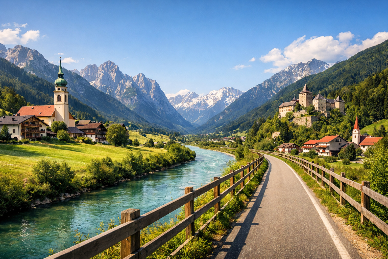
Cycle from the alpine charm of Toblach in South Tyrol through East Tyrol and Carinthia all the way to Villach, following the scenic Drava Cycle Path. This easy to moderate route winds past mountain panoramas, lively small towns and gentle river landscapes, making it ideal from May to September.

🚲 ROUTE BY DAY

Ready-made country and city routes with daily plans, sights, transport and accommodation. Buy PDF guides for independent travel.

🚲 ROUTE BY DAY


Day 1 — Toblach → San Candido: a gentle start in the Puster Valley

  • 🚲 Start in Toblach/Dobbiaco, finish in San Candido/Innichen. About 33 km at a very comfortable pace along the upper part of the Drava cycle path, if you include a beautiful loop via Lake Toblach and quiet valley sections before checking in. Actual riding time is about 2–2.5 hours, with little elevation gain, roughly up to 150–250 m including local detours and leisurely side rides. The surface is mostly excellent: separate bike paths, asphalt, some compact gravel, and short stretches of quiet local roads. Main stops along the way: Lake Toblach, the center of San Candido, and convenient spots near the stations in Toblach and Innichen. The easiest places to refill water and grab a snack are Toblach, the station area, and San Candido itself, where there are many cafés, bakeries, and shops. It is best to stay overnight in San Candido or near the station/route so that the next morning you can immediately set out on the long but easy ride to Lienz. Road nuances: in May and after heavy rain, mornings in the valley can be chilly, and in high season there are many pedestrians and rental e-bikes on family-friendly sections, so it is better to keep your speed relaxed. The day is realistic for an average cycle tourist because it lets you pick up or adjust a rental bike, calmly check your fit, brakes, luggage, and avoid overloading the first day.


Day 2 — San Candido → Lienz: a classic scenic stage along the young Drava

  • 🚲 Start in San Candido, finish in Lienz. About 32 km, with actual riding time around 2–3 hours. This is one of the most popular and genuinely tourist-friendly sections of the route: overall it runs downhill through the valley and feels easier than the numbers on the map suggest. Elevation gain is usually minimal, about 150–250 m in total, and the profile is generally favorable. The surface is mixed but comfortable for a trekking bike and e-bike: bike paths, quality asphalt, some hard-packed gravel, and rural roads. Main stops: Sillian as a logical coffee break, the borderland sections of the valley, and the historic center of Lienz. Water and food are easy to get in San Candido, Sillian, and already on the approach to Lienz; there are villages and services along the route, so there is no need to carry too much. It is best to stay overnight in Lienz: it is a convenient cycling base with a railway station, shops, workshops, and a choice of accommodation. Nuances: near the Italy–Austria border, watch the markings and do not drift onto car links; after rain, some gravel sections may be damp, but they usually remain rideable. The day is realistic even for a beginner because the route is very clear, safe, and traditionally used as a family stage or a first multi-day cycling trip.

Day 3 — Lienz → Oberdrauburg: a calm valley, villages, and the rhythm of a big cycling journey

  • 🚲 Start in Lienz, finish in Oberdrauburg. About 36 km, with actual riding time around 2.5–3.5 hours. Elevation gain is moderate, usually within 200–350 m for the day, without hard mountain passes. The surface is mostly tourist-friendly and predictable: bike path along the Drava, asphalt, rural roads with low traffic, and some smooth gravel. Main stops: Nikolsdorf or nearby villages for a short break, riverside sections with wide views of East Tyrol, and the old market of Oberdrauburg. The easiest way to restock water and food is before leaving Lienz, then in settlements along the valley, and finally in Oberdrauburg itself. It is best to stay overnight right in the historic center of Oberdrauburg or near the route/campground to avoid unnecessary climbs. Nuances: this is no longer quite the leisurely showcase of South Tyrol, but a real cycle-touring day where services are a bit less frequent, so at least 1–1.5 liters of water per person is still necessary. On hot days, the valley sections may feel warmer than in Toblach. The day is realistic for an average tourist because the distance is moderate, the profile is friendly, and the finish in a compact town allows for good recovery before the next stage.

Day 4 — Oberdrauburg → Spittal an der Drau: longer, but still comfortable

  • 🚲 Start in Oberdrauburg, finish in Spittal an der Drau. About 45 km, with actual riding time around 3.5–4.5 hours. This is already a full travel day, but it remains manageable for an average tourist thanks to the valley profile. Elevation gain is about 250–450 m, with no extreme sections. Surface: separate Drauradweg bike paths, asphalt, rural access roads, and some hard-packed gravel. Main stops: Dellach im Drautal or a similar village for coffee and water, scenic riverside sections, and the historic center of Spittal, where it makes sense to end the day with a walk. Water and food can be replenished in Oberdrauburg at the start, then in villages along the valley, and in Spittal, where there are already noticeably more services. It is best to stay overnight in Spittal near the station or center, since from here it is convenient both to continue onward and, if necessary, to take a train with a bicycle. Nuances: in strong heat, this day is better started earlier, and after prolonged rain it is wise not to rush on the gravel branches. For an e-bike this is a convenient stage, but it is still better to monitor the charge in advance. The day is realistic because it is a standard tourist daily distance on a major European cycling route, with enough places for breaks and no dangerous mountain-pass roads.

Day 5 — Spittal an der Drau → Villach: the final entry into Carinthia and a town by the water

  • 🚲 Start in Spittal an der Drau, finish in Villach. About 40 km, with actual riding time around 3–4 hours. Elevation gain is moderate, around 200–350 m, and the route overall remains easy or easy-moderate. The surface is good: cycle path along the Drava, asphalt, quiet local roads, and short stretches of compact gravel. Main stops: rural sections of the Lower Drava Valley, the area around Molzbichl or similar points for a break, and the Villach promenade itself, where it is pleasant to finish the tour. Water and food are easy to top up in Spittal, in villages along the way, and on the approach to the city. It is best to stay overnight in Villach near the station or the old town if you need a train after the tour, and if you want to relax by the water, consider accommodation closer to the lake area on the outskirts. Road nuances: before entering Villach, traffic around urban link roads becomes denser, so it is important to stay on the official cycle route and not drift onto fast car roads. In the city, it is useful to use bike parking and not leave the bicycle unlocked at the station. The day is realistic for an average cycle tourist because it is a moderate distance with good infrastructure and a very logical transport finish: from Villach it is convenient to leave by train if you do not want to ride back under your own power.

Flight tickets

eSIM for travel

Buy PDF guide

Buy PDF guide — 10.71 USD

PDF — 10.71 USD