
Buy PDF guide

Buy PDF guide — 12.85 USD

PDF — 12.85 USD

Germany. Six-day cycling tour along a section of EuroVelo 12 on the North Sea coast through dikes, coastal towns, and the natural areas of the Wadden Sea. Difficulty: medium. Season: May - September.

Germany. Six-day cycling tour along a section of EuroVelo 12 on the North Sea coast through dikes, coastal towns, and the natural areas of the Wadden Sea. Difficulty: medium. Season: May - September.

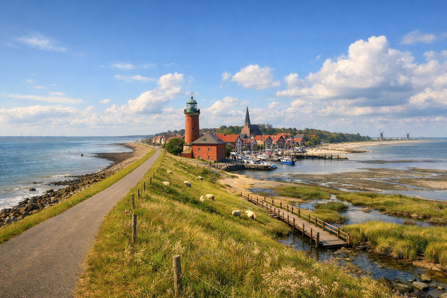
Cycle Germany’s North Sea coast on a six-day ride from Bremerhaven to Bensersiel, following EuroVelo 12 through breezy dikes, working harbors, and charming seaside towns. Along the way, the ever-changing landscapes of the Wadden Sea bring a wild, distinctive beauty to this medium-difficulty adventure, best enjoyed from May to September.

🚲 ROUTE BY DAY

Ready-made country and city routes with daily plans, sights, transport and accommodation. Buy PDF guides for independent travel.

🚲 ROUTE BY DAY


Day 1 — Bremerhaven → Bremerhaven / harbor and dike area

  • 🚲 A warm-up and very realistic coastal start: a circular day from central Bremerhaven through Havenwelten, the fishing harbor Schaufenster Fischereihafen, and the dikes at the mouth of the Weser. About 32–38 km, net riding time 2–3 hours, with minimal elevation gain — around 30–60 m. Surface is mostly asphalt and quality urban bike paths, with some waterfront promenades and short paved sections near the port. Main stops: Klimahaus / Havenwelten waterfront, the fishing harbor, and viewpoints by the dike. Water and food are easy to restock in the center and around Fischereihafen, where there are many cafés and supermarkets. It is best to stay overnight in Bremerhaven so you can assemble the bike calmly, check your luggage, and not chase distance on the first day. Road nuances: the city has plenty of clear cycling infrastructure, but around tourist areas and the promenade you should slow down because of pedestrians; a strong crosswind from the sea is noticeable even on a short day. This day is realistic for an average cycle tourist because it gives a gentle adaptation to the wind, surfaces, and rhythm of the North Sea route before the longer stages.


Day 2 — Bremerhaven → Cuxhaven

  • 🚲 A full coastal transition along the shoreline and dikes in the direction of EuroVelo 12 / Nordseeküsten-Radweg toward Cuxhaven. About 53–62 km, net riding time 3.5–5 hours, elevation gain around 70–120 m — the route is almost entirely flat, but the wind makes it physically noticeable. Surface: mostly paved dike bike paths, quiet rural roads, some hard-packed gravel, and service approaches to sluices. Main stops along the way: Wremen with the Kleiner Preuße lighthouse, Dorum-Neufeld with views over the tidal flats and the coastal villages of Cuxland. It is best to carry extra water and snacks from Bremerhaven and restock in Wremen or Dorum-Neufeld, because services between villages are sparse and seasonal. In Cuxhaven it is convenient to stay in the center, Döse, or Duhnen so that the next day you can easily reach the natural areas. Road nuances: the route is safe but exposed to the wind; after rain, some sections by the dikes can be wet and slower, and a headwind can easily add almost an hour to the day. This day is realistic for an average cycle tourist because the distance is long but the terrain is very easy, navigation is clear, and the stops are naturally distributed along the sea line.

Day 3 — Cuxhaven → circular day through Duhnen, Sahlenburg, and the Wadden Sea zone

  • 🚲 A calm nature day without changing base: from Cuxhaven along the resort districts of Duhnen and Sahlenburg, to the Wadden Sea visitor center and back via safe local bike paths. About 28–36 km, net riding time 2–3 hours, elevation gain around 20–50 m. Surface: urban asphalt, promenade sections, bike paths through coastal forest, and short stretches of hard-packed gravel. Main stops: Kugelbake as the symbol of the Elbe estuary, the UNESCO-Weltnaturerbe Wattenmeer Besucherzentrum in the Sahlenburg area, and the beach-and-dune sections of the coast. Water and food are easy to restock in Cuxhaven, Duhnen, and Sahlenburg; on the nature sections it is better to carry at least one full bottle and a light snack. A second night in Cuxhaven is the logical choice: it eases the tour and leaves time for a museum, the beach, a stormy promenade walk, or simple rest. Road nuances: parts of the walking areas can be very busy on weekends and during summer holidays, so it is better to start early; in the national park area, avoid riding onto sensitive salt marsh and tidal-flat sections. This day is realistic for an average cycle tourist because it provides recovery after a long transfer while preserving the feeling of a real cycling journey along the sea.

Day 4 — Cuxhaven → Bremerhaven by train, then Bremerhaven → Wilhelmshaven via the Blexen–Bremerhaven ferry

  • 🚲 This is a combined safe day: in the morning, return by regional train from Cuxhaven to the Bremerhaven area to avoid a long repeat ride along the same shore, then continue on a new section of EV12 by bike across the Weser. After the train — a bike stage of about 42–52 km, net riding time 3–4.5 hours, elevation gain around 50–100 m. Surface: asphalt dikes, low-traffic rural roads, ferry approaches, and urban bike paths on the way into Wilhelmshaven. Main stops: the ferry connection across the mouth of the Weser, the dikes of Butjadingen / Jadebusen, and the Südstrand waterfront in Wilhelmshaven. Water and food are easy to restock before boarding the train, then at the ferry or on the approach to Wilhelmshaven. It is best to stay in Wilhelmshaven near Südstrand or close to the center, which is more convenient both for an evening walk and for repairs/service. Road nuances: check the ferry timetable in advance and allow extra time for boarding with a bicycle; in windy weather the exposed dikes feel harder than the elevation profile suggests. This day is realistic for an average cycle tourist because the train removes tiring route duplication, while the ferry crossing makes the route logical, scenic, and safe.

Day 5 — Wilhelmshaven → Hooksiel / Horumersiel

  • 🚲 One of the most enjoyable sea stages: leaving the urban environment for the more rural and resort-like coast of Jadebusen and Wangerland. About 38–48 km, net riding time 2.5–4 hours, elevation gain 40–90 m. Surface: mostly paved bike paths, dike-top routes, quiet local roads, and occasional short hard-packed gravel sections. Main stops: Südstrand and Kaiser-Wilhelm-Brücke at the start, Hooksiel with its harbor and strolling atmosphere, and then Horumersiel-Schillig as a logical finish or long break. Water and food are easy to restock in Wilhelmshaven and Hooksiel; in small resort villages services are highly seasonal, but from May to September things usually work much better. You can stay either around Hooksiel or in Horumersiel if you want a slightly calmer base before the East Frisian section. Road nuances: exposed dikes offer almost no shade, so on warm days sunscreen, water, and an early start matter; a strong crosswind is easier on an e-bike than on a regular touring bike with luggage. This day is realistic for an average cycle tourist because the mileage is moderate, the terrain is almost nonexistent, and there are many natural rest points along the sea.

Day 6 — Hooksiel / Horumersiel → Bensersiel

  • 🚲 Final day along the North Sea chain of dikes, polders, and resort villages toward East Frisia and the gateway to the islands. About 55–66 km, net riding time 4–5.5 hours, elevation gain 60–120 m. Surface: mostly smooth asphalt, long stretches of dedicated bike paths and rural roads with very light traffic, and some hard-packed gravel near dikes and canals. Main stops: Harlesiel / Carolinensiel as a beautiful intermediate seaside village, Neuharlingersiel as a fishing harbor, and Bensersiel with views toward the islands and the national park. It is best to carry water and food from your starting base and restock in Carolinensiel or Neuharlingersiel; at the end of the day in Bensersiel it is easy to finish the route with a hot dinner by the sea. It is best to stay in Bensersiel or at the official Strand- und Familiencampingplatz if you want to end the tour as close to the shore as possible. Road nuances: this is a long but very flat day; the key difficulty is not climbs but wind and the repetitive open landscape, so short breaks every 15–20 km are useful. This day is realistic for an average cycle tourist because the route is predictable, technically easy, and well suited even for travel on a trekking bike or e-bike with bags.

Flight tickets

eSIM for travel

Buy PDF guide

Buy PDF guide — 12.85 USD

PDF — 12.85 USD