
Buy PDF guide

Buy PDF guide — 6.43 USD

PDF — 6.43 USD

Germany and Austria. Rhine Cycle Route (Mainz - Koblenz). Season: May - October

Germany and Austria. Rhine Cycle Route (Mainz - Koblenz). Season: May - October

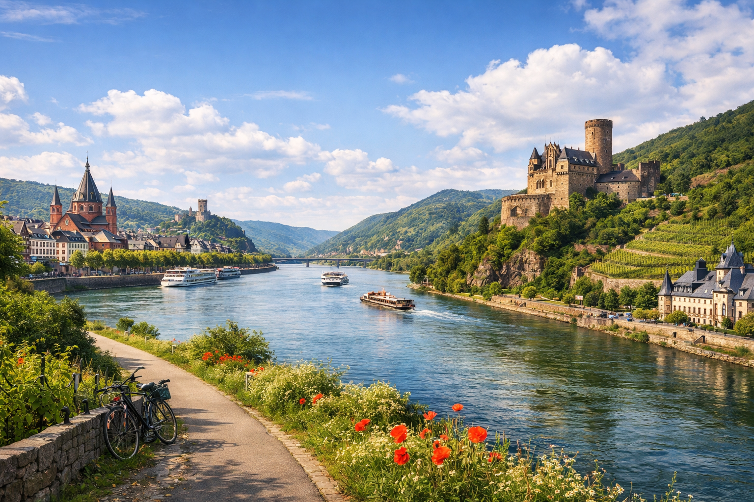
Pedal through the heart of the Rhine, from Mainz to Koblenz, where vineyard-covered hills, castle-topped cliffs, and lively river towns unfold around every bend. From the wine streets of Mainz and Bingen to the sweeping Rhine views in Boppard, this classic route is at its best from May to October.

🚲 ROUTE BY DAY

Ready-made country and city routes with daily plans, sights, transport and accommodation. Buy PDF guides for independent travel.

🚲 ROUTE BY DAY


Day 1 — Mainz → Bingen: a gentle introduction to the Rhine Cycle Route

  • 🚲 Start in Mainz, finish in Bingen am Rhein. Approximate distance 38–42 km, pure riding time about 2.5–3.5 hours, elevation gain is small — around 80–150 m depending on local waterfront detours and city entries. The main route is best planned along Rheinradweg / EuroVelo 15 on the left bank of the Rhine: lots of asphalt, promenades, dedicated bike paths, and calm stretches on local streets, with occasional short sections of compact gravel or paving stones. Difficulty is easy. Main stops along the way: Mainz waterfront for a relaxed start, Ingelheim as a convenient coffee and grocery break, then Bingen with views of the beginning of the romantic Rhine gorge. Water and food are easy to restock in Mainz, Ingelheim, and central Bingen; in hot weather it is better to carry at least 1.5–2 liters per person, because there is little shade on the open river sections. It is best to stay overnight in Bingen near the river or not far from the station, so that if you get tired there is a backup train option. Road nuances: the route is generally safe and popular, but in towns you need to watch the signs carefully, share space with pedestrians along the waterfronts, and in strong westerly winds the section may feel slightly longer. This day is realistic for an average cycle tourist because almost all of it is flat, services appear regularly, and it is fairly easy to leave the route for the railway.


Day 2 — Bingen → Boppard: castles, cliffs, and the most beautiful section of the Middle Rhine

  • 🚲 Start in Bingen, finish in Boppard. Approximate distance 48–58 km, pure riding time about 3.5–5 hours, elevation gain roughly 180–350 m: the route itself along the river is not mountainous, but there will be small climbs at entrances, toward waterfronts, and while maneuvering through historic towns. Surface is mostly asphalt and good bike paths, with occasional quiet streets in old settlements, short paved and gravel sections. Difficulty is moderate. This is already the heart of the UNESCO Upper Middle Rhine Valley: along the way, 2–3 stops in Bacharach, Oberwesel, and around the St. Goar / Loreley area make sense. If you want to vary the scenic sections, you can use the St. Goar ↔ St. Goarshausen ferry as an option and make a short detour to the Loreley panorama, but the basic safe route is perfectly good even without the crossing. For food and water, it is convenient to stop in Bacharach, Kaub, Oberwesel, and St. Goar; many cycle tourists take a long lunch break in one of the river towns. Overnight stay is optimal in Boppard: it is a convenient base with railway access, services, and a beautiful river bend. Road nuances: during the May–October season there can be many pedestrians on the waterfronts and at the ferries; after rain, stone paving and old sections can be slippery; in some places the route runs close to the railway and the road, but without any extreme sections. The day is realistic for an average tourist because the distance is moderate, the profile is gentle, and every few kilometers there are settlements, cafés, and stations.

Day 3 — Boppard → Koblenz: a short finale with extra time for walking and logistics

  • 🚲 Start in Boppard, finish in Koblenz. Approximate distance 22–28 km, pure riding time about 1.5–2.5 hours, elevation gain around 60–120 m. The surface is almost entirely tourist-friendly and comfortable: riverside bike path, asphalt, calm promenades, and short urban streets on the approach to Koblenz. Difficulty is easy. Main stops along the way: Spay and Braubach as pleasant short breaks, then Deutsches Eck in Koblenz, where the Rhine meets the Moselle. It is convenient to take water and a snack already in the morning in Boppard, then restock in Braubach or on the approach to Koblenz. It is best to stay overnight in Koblenz in a hotel with bicycle storage or, if you need a more budget and outdoor option, at an official camping site near the confluence of the rivers. Road nuances: on the final section traffic usually does not interfere, but on entering Koblenz you need to be more attentive to pedestrians, tram/bus zones, and city navigation; it is better to go up to Ehrenbreitstein without a bicycle or leave it below, because visitor rules apply on the fortress grounds and riding is not allowed everywhere. This day is realistic because it leaves extra time for sightseeing, repairs, returning a rental bike, or a safe train departure on the same day.

Flight tickets

eSIM for travel

Buy PDF guide

Buy PDF guide — 6.43 USD

PDF — 6.43 USD