
Buy PDF guide

Buy PDF guide — 6.43 USD

PDF — 6.43 USD

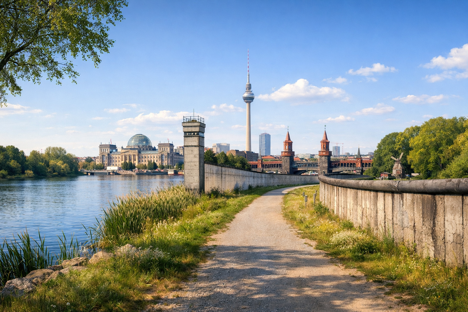
Germany, Berlin and Brandenburg. Bicycle tour along the Berlin Wall route: a circular path along the former border of West Berlin. Difficulty: easy. Season: April - October.

Germany, Berlin and Brandenburg. Bicycle tour along the Berlin Wall route: a circular path along the former border of West Berlin. Difficulty: easy. Season: April - October.

Discover Berlin and Brandenburg by bike on an easy circular tour along the former Berlin Wall. From the city’s vibrant heart to the lakes of Wannsee and Potsdam, then back along the southern Mauerweg, this route blends powerful history with green landscapes and relaxed cycling from April to October.

🚲 ROUTE BY DAY

Ready-made country and city routes with daily plans, sights, transport and accommodation. Buy PDF guides for independent travel.

🚲 ROUTE BY DAY


Day 1 — North and central Mauerweg: from Bernauer Straße to Spandau

  • 🚲 Start: Bernauer Straße area / Berlin Wall Memorial. Finish: Spandau or western Berlin by the Havel. Distance: ≈52 km. Pure riding time: 3.5–4.5 hours. Elevation gain: about 120–170 m, mostly barely noticeable rolling terrain. Surface: mostly asphalt and good urban bike paths, with some park paths and short sections of compact gravel. Difficulty: easy. It is best to start the morning at the Gedenkstätte Berliner Mauer on Bernauer Straße: this is the most illustrative starting point, where you can clearly see how the border strip ran. From there, the route goes through the northern quarters of the former wall, past Mauerpark and greener sections toward the west. The main stops along the way are Mauerpark for a short break, the Nieder Neuendorf / Hennigsdorf area for the feeling of the route’s “outer ring,” and Spandau Citadel / the Havel waterfront as a beautiful end to the day. It is easy to restock water and food in Gesundbrunnen, Reinickendorf, and Spandau: there are many supermarkets, bakeries, and kiosks literally 2–5 minutes from the track. For an average tourist, this day is realistic because the profile is almost flat, the section breaks down well into short segments, and you can leave the route for an S-Bahn or U-Bahn almost anywhere if you get tired. Road nuances: in the center there are many traffic lights and local traffic, and pedestrians are common on popular park sections; it is best to ride calmly, especially on weekends. In the northwest there are quieter green corridors, but after rain some unpaved parts may get muddy. Overnight: it is convenient to stay in the western part of the route or return by regional train/S-Bahn to a central hotel if you prefer a single city base.


Day 2 — Lake district west: Spandau / Wannsee → Potsdam → Glienicke → southwestern Mauerweg

  • 🚲 Start: western Berlin, ideally from the Wannsee area or after a short train link from Spandau into the greener southwest. Finish: Potsdam or the Teltow / Kleinmachnow area. Distance: ≈46–58 km depending on the variant. Pure riding time: 3–4.5 hours. Elevation gain: about 150–220 m, the most “hilly” day of the tour, but still easy for a tourist. Surface: paved bike paths, forest tracks, waterfront promenades, and short gravel sections in natural areas. Difficulty: easy. This is the most scenic day: from the water and pine forests of Wannsee, the route heads to Glienicker Brücke, then you can make a loop to Heilandskirche Sacrow and return to the line of the former border. A historic stop is Checkpoint Bravo in Kleinmachnow, where the border history is felt especially well not in the center, but on the periphery. It is convenient to take breaks and get food in Wannsee, Potsdam, and Kleinmachnow; water is easy to find in urban areas, but between forest sections it is better to carry 1.5–2 liters per person, especially in summer. Overnight: Potsdam is a convenient bike-friendly end to the day — lakes, services, shops, and good accommodation options are nearby. The day is realistic because the mileage is moderate, the most scenic stretches follow calm roads and bike routes, and if you get tired you can shorten the route via S-Bahn/regional trains from Wannsee, Potsdam Hbf, or Teltow. Road nuances: by the lakes and in forest areas crosswinds are possible; on warm weekends the promenades and walking zones around Wannsee and Potsdam can get very crowded. Do not pick up speed on bridges or near tourist spots. If you want to visit Pfaueninsel, remember that the island is connected by ferry and this is a separate sightseeing detour rather than a quick transit bike section.

Day 3 — Southern wall sector: Potsdam / Teltow → Marienfelde → Tempelhof → central Berlin

  • 🚲 Start: Potsdam or Teltow / Kleinmachnow, depending on your overnight stay. Finish: central Berlin, with Spittelmarkt / Hauptbahnhof / Mitte being convenient areas. Distance: ≈44–55 km. Pure riding time: 3–4.5 hours. Elevation gain: about 100–160 m. Surface: mainly asphalt, good bike lanes, sections along the Teltowkanal and the former border, with some compact dirt stretches. Difficulty: easy. In the morning the route follows the southern Mauerweg, where the long straight sections with easy navigation are especially pleasant. A very symbolic stop is Kirschblütenallee / Japanese cherry trees on the former border, followed by the Marienfelde Refugee Center Museum as an important historical site, after which the route enters a more urban rhythm through the southern districts toward Tempelhof and then the center. For food and water, it is convenient to plan breaks in Teltow, Lichterfelde, Marienfelde, and by Tempelhofer Feld: there are enough services, but on canal-side and green sections it is better not to miss the chance to refill bottles. Overnight: it is best to spend the final evening in central Berlin so you can return the bike without rushing, go out for dinner, and, if you want, leave by train the next day. The day is realistic for an ordinary cycle tourist because the route is almost flat again, and near the finish there are many exit points to S-Bahn, U-Bahn, and regional trains. Road nuances: closer to the center the number of traffic lights, bike lanes, and crossings with cars increases; in the rain tram tracks and paving on some intersections require caution. In hot weather the open sections of Tempelhofer Feld and the southern border can heat up a lot, so it is better to start early.

Flight tickets

eSIM for travel

Buy PDF guide

Buy PDF guide — 6.43 USD

PDF — 6.43 USD