
Buy PDF guide

Buy PDF guide — 6.43 USD

PDF — 6.43 USD

Germany, Bavaria. Cycling tour along the Isar Cycle Path: from Mittenwald to Munich. Difficulty: easy or moderate. Season: May - September.

Germany, Bavaria. Cycling tour along the Isar Cycle Path: from Mittenwald to Munich. Difficulty: easy or moderate. Season: May - September.

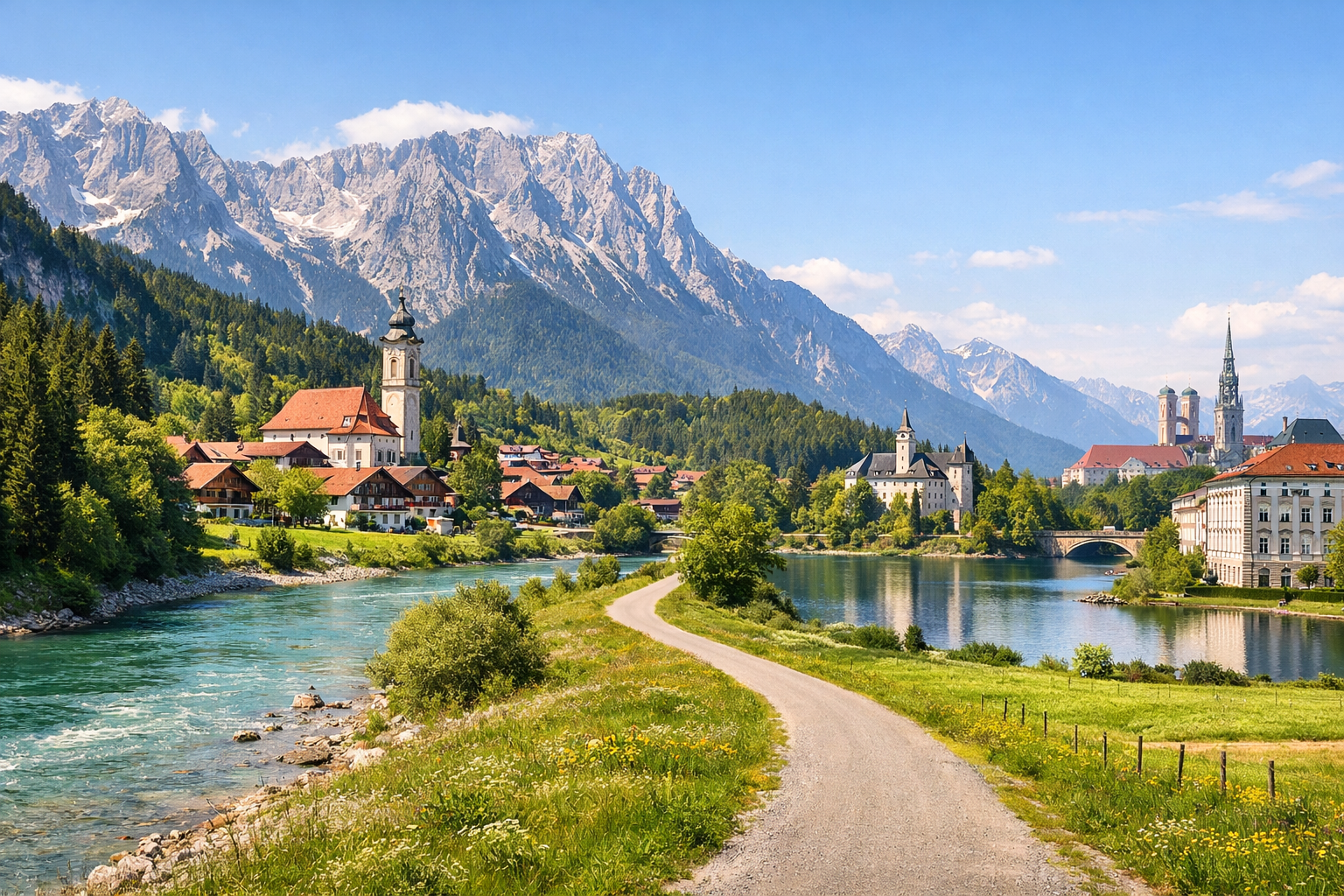
Cycle from the alpine charm of Mittenwald through Lenggries, Bad Tölz and Wolfratshausen to the vibrant streets of Munich, following the clear green waters of the Isar all the way. This easy to moderate ride blends mountain views, riverside paths and classic Bavarian towns, and is best enjoyed from May to September.

🚲 ROUTE BY DAY

Ready-made country and city routes with daily plans, sights, transport and accommodation. Buy PDF guides for independent travel.

🚲 ROUTE BY DAY


Day 1 — Mittenwald → Lenggries: from an alpine valley to the lake views of Sylvenstein

  • 🚲 Start in Mittenwald and finish in Lenggries. About 50–56 km, pure riding time around 3.5–4.5 hours, elevation gain approximately 250–450 m: the day generally goes downhill along the valley, but there are rolling sections and local climbs. The surface is mixed but touring-friendly: dedicated Isar-Radweg cycle paths, asphalt, compact gravel, quiet country roads, and sections along the dam/river. Main stops along the way: Krün or Wallgau for coffee and a snack, viewpoints at Sylvensteinsee, then arrival in Lenggries. It is convenient to refill water in Mittenwald before the start, in Krün/Wallgau, and in Lenggries; food and bakeries are available in settlements, while in the more natural stretch between Wallgau and Lenggries services are fewer, so it is better to carry some запас. For an e-bike, it is convenient to start with a full battery; in Mittenwald it is realistic to find charging and service at BikerBahnhof. Route nuances: the route is very beautiful, but alpine weather is changeable even from May to September; after rain, gravel sections may be slower, and headwinds are possible near the reservoir. In the Lenggries area it was officially noted that the Fahrradtunnel am Sylvensteinsee-Damm is open, but before departure it is still worth checking local updates on the condition of cycling infrastructure. Staying overnight in Lenggries makes perfect sense: it is a convenient base with tourist infrastructure, rentals, and a clear continuation of the Isar-Radweg. The day is realistic for an average cycle tourist because the distance is moderate, the route is well known and easy to follow along the Isar valley, and the main challenge is not technical difficulty but distance and changing weather.


Day 2 — Lenggries → Bad Tölz → Wolfratshausen: broad river, pre-alpine meadows, and rafting towns

  • 🚲 Start in Lenggries, finish in Wolfratshausen. About 45–52 km, pure riding time 3–4 hours, elevation gain around 120–220 m. This is one of the most comfortable days of the tour: after Lenggries the valley opens up, and the route along the Isar becomes calmer and more even. The surface is mostly friendly for a trekking bike and e-bike: paved cycle paths, firm gravel, river promenades, forest stretches, and quiet roads through riverside areas. Main stops: Bad Tölz with its historic Marktstraße and access to the Isarpromenade, then green sections between Bad Tölz and Geretsried/Wolfratshausen, and Wolfratshausen itself as an old rafting town. Water and food are easiest to get in Lenggries before departure, then in Bad Tölz — this is the best place for a long lunch break; there are also town service stations for minor repairs, a pump, and charging for e-bike batteries. Route nuances: between Bad Tölz and the northern sections there are quieter natural stretches where you need to be more attentive to pedestrians and avoid speeding on shared paths; after rain some forest segments may be damp. Overnight in Wolfratshausen is convenient because of the Bike+Ride at the station, bike services, and good backup logistics toward Munich if the weather suddenly turns bad. The day is realistic for an average tourist because it is moderate in length, has almost no hard climbs, and offers clear urban infrastructure in the middle of the route.

Day 3 — Wolfratshausen → Pupplinger Au → Schäftlarn Monastery → Munich

  • 🚲 Start in Wolfratshausen, finish in Munich. About 32–40 km, pure riding time 2.5–3.5 hours, elevation gain around 80–160 m. The surface is varied and pleasant: riverside and forest cycle paths, firm gravel in the natural sections of Pupplinger Au, then asphalt and urban cycling routes on the way into Munich. Main stops along the way: the Pupplinger Au nature area, Schäftlarn monastery, or a break by the green banks of the Isar, then an urban finish on the Isar embankments in Munich. It is worth filling up water in Wolfratshausen before the start; there are fewer services in the natural segments, but closer to Schäftlarn and at the southern entrance to Munich cafés and shops appear regularly again. Route nuances: this is a safe and very logical finale, but closer to Munich there are more local cyclists, runners, and leisure traffic; on shared paths it is important to slow down and use your bell in advance. On hot summer days it is pleasant to ride the river sections in the morning, because after noon the city embankments become busier. If a tourist is tired, from Wolfratshausen or stations along the way the finale can be simplified by taking a regional train/S-Bahn with a bike according to the current transport rules. After the finish, it is better to stay overnight in Munich near convenient access to the center or the station if departure is planned for the next day. This day is realistic for an average cycle tourist because the distance is short, the terrain is gentle, and the finish allows you to arrive in the city calmly without sporting strain.

Flight tickets

eSIM for travel

Buy PDF guide

Buy PDF guide — 6.43 USD

PDF — 6.43 USD