
Buy PDF guide

Buy PDF guide — 12.85 USD

PDF — 12.85 USD

France and the Alpine Rings. Tour around the Combin massif. Season (July-August)

France and the Alpine Rings. Tour around the Combin massif. Season (July-August)

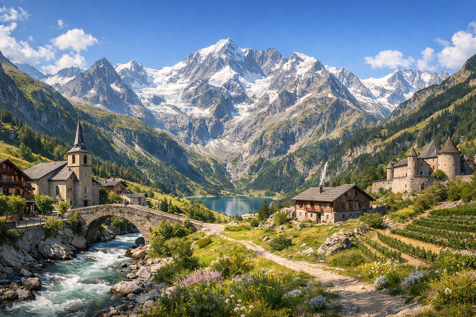
Circle the wild beauty of the Combin massif on a summer trek through flowered meadows, high passes, and quiet Alpine villages. From Bourg-Saint-Pierre to La Fouly, Champex-Lac, and the Val de Bagnes, this July-to-August journey blends crisp mountain air, glacier views, and the warm rhythm of life in the high Alps.

🥾 ROUTE BY DAY

Ready-made country and city routes with daily plans, sights, transport and accommodation. Buy PDF guides for independent travel.

🥾 ROUTE BY DAY


Day 1 — Bourg-Saint-Pierre: lakeside walk at Lac des Toules and acclimatization

  • 🥾 It’s best to make the first day easy and introductory: a walk by Lac des Toules and along the marked trails above Bourg-Saint-Pierre. The character of the route is an alpine lake, open pastures, conifer-covered slopes, and views of the upper Grand-Saint-Bernard valley. The active part of the day usually takes 2.5–4 hours, depending on the chosen loop; difficulty is easy; expected distance is 6–9 km, with elevation gain of ≈150–300 m. This is a good start for an average traveler: the trails are well known, with no technical sections, no glacier travel, and no need for special equipment. Along the way, the calm water, alpine meadows, and the harsh yet highly photogenic landscape by the dam are especially beautiful. In July and August, most of the lower routes are usually already accessible, but mornings can be cool and thunderclouds are common after midday, so it’s better to set out early. If you want to add another short walk, you can also visit the village of Bourg-Saint-Pierre and stroll through its old streets as a calm recovery part of the day.


Day 2 — Bourg-Saint-Pierre: scenic hike to Lacs de Fenêtre

  • 🥾 The most “alpine” day at the first base is the hike to Lacs de Fenêtre, one of the most beautiful natural areas near the Combins massif. The character of the walk is a mountain valley, rocky but easy-to-follow trails, high-altitude lakes, and panoramas of massifs and passes. The active part of the day takes 5–6.5 hours; difficulty is moderate; expected distance is 10–13 km, with elevation gain of ≈600–800 m. For an average traveler, the route is suitable in good weather and with basic fitness: this is not mountaineering, not glacier travel, and not via ferrata, but a classic summer mountain trail where you simply need sturdy footwear and attention to trail markings. It’s important to understand the seasonality: in early July, patches of snow may still remain on the higher sections, and after rain the rocks become slippery. If snowfields remain low or the forecast is unstable, it’s better to simplify the day and shorten the route to lower scenic sections near Bourg-Saint-Pierre. Return is to the same base, without rushing and with a long break by the lakes.

Day 3 — La Fouly: Val Ferret valley and an easy walk to Ferret

  • 🥾 In the morning, transfer to La Fouly, followed by an easy walk through Val Ferret toward Ferret or along family-friendly trails in the valley. The character of the day is a wide mountain valley, forest, meadows, the Dranse de Ferret river, and gentle panoramas of glacier-clad peaks from the safe lower zone. The active part takes 2.5–4 hours; difficulty is easy; expected distance is 7–10 km, with elevation gain of ≈100–250 m. After the transfer, this is an ideal format: there is no need to gain much height, the trails are well used, navigation is simple, and the views are still very “alpine.” This kind of walk is especially suitable for an average traveler without special gear, because the route follows comfortable valley sections without dangerous ridges or glacier travel. In July and August, the middle of the day can be hot and sunny here, so it is more pleasant to start in the morning or toward evening. An additional advantage is that in this area it is easy to shorten the walk and return to the base by bus or taxi if tired.

Day 4 — Champex-Lac: forest trail La Fouly → Champex-Lac

  • 🥾 This is one of the most successful transfer days of the tour for an average traveler: the marked trail La Fouly – Champex-Lac, known as a beautiful forest section of an international hiking route. The character of the walk is forest, streams, shaded sections, traditional alpine villages, and a gentle approach to Lake Champex. The active part of the day takes 4.5–6 hours; difficulty is moderate; expected distance is 14–16 km, with elevation gain of ≈450–650 m. The route suits average travelers because it is a popular, well-trodden, and logically waymarked trail without technical obstacles. It is longer than the previous walks, but it does not require mountaineering training. The finish at Champex-Lac is especially pleasant: the forest opens up and a peaceful lake appears, which is why this area is often called “little Canada.” In season, it is important to carry water and a light rain jacket: the forest is comfortable even on warm days, but summer downpours in the Alps can happen almost at any moment. If the day promises strong thunderstorms, the crossing can be shortened by using the bus via Orsières.

Day 5 — Champex-Lac: lake, Flore-Alpe, and easy trails around the base

  • 🥾 After a transfer day, it makes sense to arrange a calmer program around Champex-Lac: a walk along the lakeshore, trails through the forest, and a visit to the Flore-Alpe alpine botanical garden. The character of the day is lake, conifer forest, botanical garden, scenic paths, and gentle terrain. The active part of the day takes 2–4 hours; difficulty is easy; expected distance is 5–8 km, with elevation gain of ≈80–200 m. This is an excellent rest day without losing the natural atmosphere: you are still in the heart of the Alps, but without heavy exertion. For an average traveler, the route is convenient because almost the entire day follows simple paths and short trails close to infrastructure, cafés, and stops. In July–August, it is especially pleasant to walk here in the morning and evening, when the lake beautifully reflects the peaks. If the weather is unstable, this day is hardly affected: you can shorten the route, spend more time in the garden, or do several short outings instead of one long walk.

Day 6 — Val de Bagnes: Mauvoisin or Lac de Louvie as the final scenic walk

  • 🥾 It is best to dedicate the final day to the other side of the Combins massif — Val de Bagnes. The safest and most realistic option for average travelers is Sentier du Barrage de Mauvoisin: a walk across the dam, through the historic gallery, and along scenic trails around the reservoir. The character of the route is a mountain reservoir lake, rock walls, valley views, and an engineering landmark in a powerful natural setting. The active part takes 2–3.5 hours; difficulty is easy; expected distance is 4–7 km, with elevation gain of ≈100–250 m. An alternative for more active travelers in good weather and with convenient logistics is Lac de Louvie from the Fionnay / La Chaux side, where the walk is longer: 4–5 hours, difficulty moderate, but still without special equipment on a standard summer route. For July and August, two nuances are important: check bus and seasonal shuttle operations, and monitor the forecast, because higher points and long exposed sections are best done before afternoon thunderstorms. If you need the most relaxed finale without the risk of overexertion, choose Mauvoisin — it is spectacular, easily accessible, and does not require a strenuous climb.

Flight tickets

eSIM for travel

Buy PDF guide

Buy PDF guide — 12.85 USD

PDF — 12.85 USD