
Buy PDF guide

Buy PDF guide — 6.43 USD

PDF — 6.43 USD

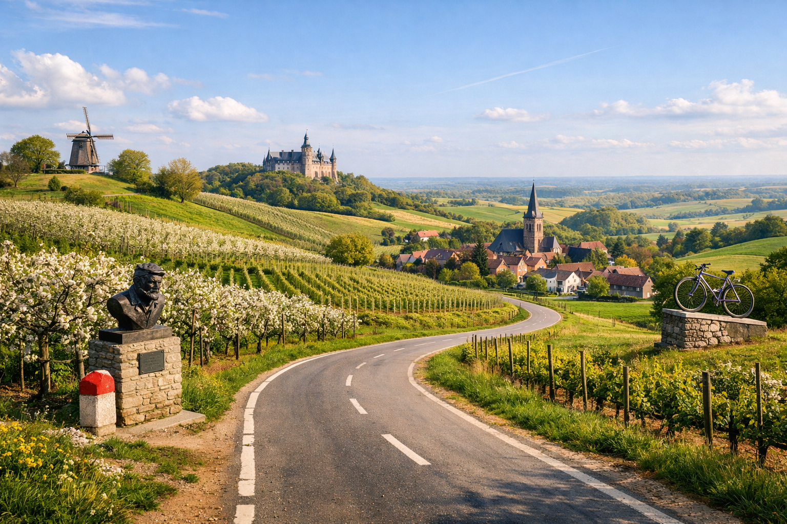
Belgium, Flemish Brabant. Cycling tour on the roads of Eddy Merckx: a circular route through the hilly Hageland region, passing through orchards, vineyards, and landmarks associated with the famous cyclist. Difficulty: medium or high. Season: April–October.

Belgium, Flemish Brabant. Cycling tour on the roads of Eddy Merckx: a circular route through the hilly Hageland region, passing through orchards, vineyards, and landmarks associated with the famous cyclist. Difficulty: medium or high. Season: April–October.

Ride the rolling roads of Flemish Brabant on a circular tour through the heart of Hageland, where orchards, vineyards, and quiet hill lanes shape a classic Belgian landscape. Following routes linked to cycling legend Eddy Merckx, this medium to challenging ride runs from Leuven through towns like Tienen, Diest, and Scherpenheuvel before looping back, best enjoyed from April to October.

🚲 ROUTE BY DAY

Ready-made country and city routes with daily plans, sights, transport and accommodation. Buy PDF guides for independent travel.

🚲 ROUTE BY DAY


Day 1 — Leuven → Rotselaar → Tielt-Winge → Meensel-Kiezegem → Tienen

  • 🚲 Start in Leuven, finish in Tienen. Roughly 58–64 km, net riding time about 4.5–5.5 hours, elevation gain around 550–700 m: the day already has some character, because Hageland is not the Alps, but the constant rolling terrain, short climbs, and descents are felt all day long. The best scenario is to leave Leuven early on calm urban bike paths and then switch to the fietsnetwerk nodes toward Rotselaar and Horst Castle. The surface is mostly asphalt and dedicated bike paths, with some quiet rural roads and short compact gravel stretches near natural areas and vineyards. Main stops: Horst Castle, the wine visitor centre in Wezemaal/Rotselaar, and Meensel-Kiezegem — a village connected with Eddie Merckx’s origins and included in routes for strong cycling enthusiasts. Vlooybergtoren in Tielt-Winge is worth climbing for the panorama of hills and vines. Water and snacks are easiest to get in Leuven, Rotselaar, Tielt-Winge, and then in Tienen; between villages, services are not always closely spaced, so 2 bottles are essential here. It is most convenient to stay overnight in Tienen: the town is large enough to solve dinner, pharmacy, and small bike-spares needs. Road nuances: in central Leuven, watch for cobblestones and pedestrian zones, and in the hilly part of Hageland, do not plan an overly high average pace — the short climbs add up to fatigue. In rain, the iron-rich soil and rural turnoffs can be slippery, so it is better to stick to the asphalt version between nodes. The day is realistic for an average cycle tourist because the distance is long, but it runs through the dense network of Flemish cycle routes, and the elevation is spread over a series of short climbs rather than one hard pass.


Day 2 — Tienen → Zoutleeuw → Diest

  • 🚲 Start in Tienen, finish in Diest. Roughly 46–52 km, net riding time about 3.5–4.5 hours, elevation gain around 250–400 m: this is a more restorative day after the hills of the first stage, but still with beautiful rural relief. From Tienen, it is convenient to head east and northeast on calm roads and bike paths through orchard areas and open fields toward Zoutleeuw, then take the line toward the former railway corridor and the accessible tourist routes for which the region between Tienen and Diest is known. The surface is mostly asphalt, with some smooth bike path on a former railway line, plus short stretches on local streets. Main stops: the historic center of Zoutleeuw, the open rural panoramas of Hageland, and Diest itself, a very bike-friendly town where it is convenient to end the day. On this stage it is easy to have a relaxed lunch in Zoutleeuw and a second short coffee stop closer to Diest. Water is easy to refill in town centers; if you ride on a hot day in July or August, shade between villages is limited, so it is better to cover the midday section without long empty stretches without water. An overnight stay in Diest is especially logical: there is rental, a bike point by the station, repairs, shops, and clear urban logistics. Road nuances: in winter and the shoulder seasons, some local node navigation may temporarily change due to network works, and in wet weather there may be mud on rural junctions after farm machinery. The day is realistic for an average cycle tourist because the mileage is moderate, the profile is gentler, and finishing in Diest gives a good service buffer before the final circular day.

Day 3 — Diest → Scherpenheuvel → Averbode/forest sections → Leuven

  • 🚲 Start in Diest, finish in Leuven. Roughly 61–68 km, net riding time about 4.5–5.5 hours, elevation gain around 500–650 m. This is a beautiful final day with pilgrimage Scherpenheuvel, forest sections near Averbode, and a gradual return to university Leuven. It makes sense to ride the first part calmly: leave Diest on safe bike paths toward Scherpenheuvel, then continue through green areas and quiet roads toward Averbode and from there take a western line to Holsbeek/the outskirts of Leuven. The surface is mixed, but tourist-friendly: good asphalt, bike-path sections, forest stretches on firm dirt or fine gravel, and calm local roads. Main stops: the basilica and square of Scherpenheuvel, Averbode Abbey with a break for a drink or pastry, and closer to the finish — the Great Beguinage of Leuven or the city’s museum center. Water and food are easiest to refill in Diest, Scherpenheuvel, and the Averbode area; on the forest links between them, services are uneven. Overnight after finishing the route — in Leuven, near the station or the historic center, if you need an easy train departure the next day. Road nuances: in the forest after rain, it is better to choose firmer bypasses along the node network, and in a strong westerly wind the ride back to Leuven may feel harder than the stated numbers suggest. In central Leuven, the last kilometers are slower because of the urban environment, cobblestones, and pedestrian traffic. The day is realistic for an average cycle tourist because it is long but not extreme, logically split into several cultural and food stops, and follows the dense safe cycling network of Flanders.

Flight tickets

eSIM for travel

Buy PDF guide

Buy PDF guide — 6.43 USD

PDF — 6.43 USD