
Buy PDF guide

Buy PDF guide — 10.71 USD

PDF — 10.71 USD

Austria. Cycling tour along the Tauern Cycle Path: from Krimml to Salzburg. Difficulty: easy or moderate. season: May - September.

Austria. Cycling tour along the Tauern Cycle Path: from Krimml to Salzburg. Difficulty: easy or moderate. season: May - September.

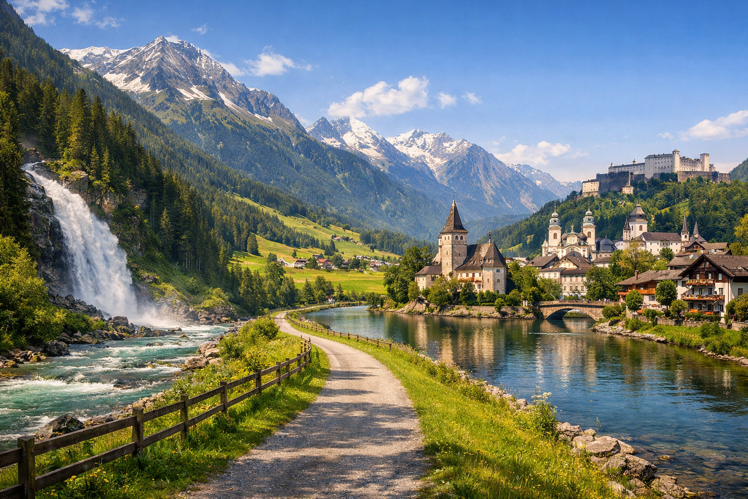
Cycle from the thundering Krimml Waterfalls through wide Alpine valleys, charming villages, and lakeside scenery all the way to Salzburg. The Tauern Cycle Path offers an easy to moderate ride from May to September, blending mountain views, peaceful river stretches, and classic Austrian character at every turn.

🚲 ROUTE BY DAY

Ready-made country and city routes with daily plans, sights, transport and accommodation. Buy PDF guides for independent travel.

🚲 ROUTE BY DAY


Day 1 — Krimml → Neukirchen am Großvenediger

  • 🚲 Start in Krimml, at the foot of the famous Krimmler Wasserfälle, and ease into the route along the Tauernradweg downhill through the Salzach valley to Neukirchen. About 34 km, actual riding time around 2 hr 15 min, with little climbing: mostly a gentle descent with short rollers, about 150–250 m of total ascent. The surface on this day is comfortable for an average tourist: bike paths, separate stretches on quiet rural roads, and some compact gravel and asphalt. Main stops along the way: Krimml waterfalls in the morning, Bramberg am Wildkogel for coffee and a snack, and scenic sections of the valley before Neukirchen. It is convenient to refill water and buy food in Krimml, Wald, Bramberg, and then in Neukirchen; this is realistic in the villages along the valley, but between them you should not expect frequent shops every few kilometers. It is best to stay overnight in Neukirchen: it is a logical base with accommodation, restaurants, and a good starting point for the next day. Road nuances: in the morning, allow time to visit the waterfalls on foot rather than trying to combine a long walk on the trail with a big cycling day; after rain, puddles and loose gravel are possible on riverside and unpaved sections, and mornings in May can be cool. The day is realistic because it is a short and mostly descending section, ideal for acclimatization, a first day on a trekking bike or e-bike, and a relaxed pace with photo stops.


Day 2 — Neukirchen → Mittersill

  • 🚲 Today the route continues along the Tauernradweg through the wide Pinzgau valley toward Mittersill. About 42 km, actual riding time around 2 hr 45–50 min, with moderate climbing — roughly 180–300 m, without any hard mountain walls. The surface is mixed but tourist-friendly: quality bike paths, paved local roads, and some short stretches of compact gravel. Main stops: the villages of Bramberg and Hollersbach, as well as Mittersill itself with its historic center and convenient infrastructure. For breaks and water, bakeries, supermarkets, and guesthouses in the valley settlements are convenient; if it is hot, it is better to refill bottles at every major stop. An overnight stay is optimal in Mittersill: the town is convenient for services, workshops, shops, and as a backup option with the Pinzgauer Lokalbahn. Road nuances: this is a calm day, but there may be a headwind in the valley, especially during the day; in high season there are many families with children on popular sections, so on shared paths you should slow down in advance and use your bell. The day is realistic for an average cycle tourist because the distance is moderate, the terrain is gentle, and there are frequent settlements and options to shorten the route or evacuate by train.

Day 3 — Mittersill → Zell am See

  • 🚲 One of the most pleasant days of the tour: the road continues through the valley toward Lake Zell. About 48 km, actual riding time around 3 hr 10–15 min, with total ascent usually within 200–350 m, with a comfortable profile for a trekking bike and e-bike. The surface is once again very friendly: Tauernradweg bike paths, secondary asphalt roads, and some smooth gravel. Main stops: the Hollersbach or Niedernsill area for coffee, Piesendorf/Bruck an der Großglocknerstraße as the approach to the lake zone, and the finish at the Zell am See waterfront. For water, lunch, and a short repair, this day is convenient: there are many services along the valley, and in the Zell am See-Kaprun region there is a network of bike rental, e-bike services, and charging stations. It is best to stay overnight in Zell am See or in the Schüttdorf area so you can take a calm walk by the water in the evening and not waste energy on an extra climb. Road nuances: tourist traffic on bike paths and local streets increases closer to Zell am See; in good weather the lakefront can be very crowded. If you like, after check-in you can do a short evening loop around part of the lake, but it is not necessary to include it in the main mileage. The day is realistic because it is smooth, very scenic, and well supplied with services, and the finish in a major tourist center gives you time for rest, laundry, e-bike charging, and minor repairs.

Day 4 — Zell am See → Bischofshofen

  • 🚲 This is the longest riding day of the route, but it is still realistic for an average tourist thanks to the steady profile along the river. About 58 km, actual riding time around 3 hr 35–40 min, with about 250–400 m of ascent. It is best to ride the Tauernradweg along the Salzach through the southern part of the valley, passing through Taxenbach and the Sankt Johann im Pongau area to Bischofshofen. The surface is mostly asphalt and good bike paths, with some compact gravel sections and short links on quiet local roads. Main stops: Taxenbach or Lend for coffee, the Sankt Johann area for lunch and supplies, and the finish in Bischofshofen. You should carry extra water and food for the first half of the day: there are settlements, but the stretches between them are longer than in the upper valley. It is convenient to stay overnight specifically in Bischofshofen because from here it is comfortable to ride to Salzburg the next day and, if necessary, easily switch to the train. Road nuances: in this part of the route there are more transport-heavy zones and interchanges near major roads, so it is important to follow the official Tauernradweg cycling signage and not cut through fast car routes; in the heat of July–August, it is worth starting earlier. The day is realistic for a tourist with basic fitness because the elevation change is small, the surface is good, and the length is compensated by the absence of serious mountain climbs.

Day 5 — Bischofshofen → Salzburg

  • 🚲 The final day follows the Salzach toward Salzburg — with the feeling that the mountain part is already behind you and city embankments and baroque views lie ahead. About 65 km, actual riding time around 4 hr, with moderate climbing of about 200–350 m and no hard passes. The surface is tourist-friendly and predictable: bike paths, river embankments, local roads, and some gravel sections that are usually easy to ride on a trekking bike. Main stops: the Golling an der Salzach area, then Hallein or the suburban riverside sections before Salzburg, and the finish on Salzburg’s urban cycling network. For water and food this is a convenient day: after Golling and Hallein there are already many services, and on the approach to the city there are cafés and supermarkets. It is best to stay overnight in Salzburg near the Salzach embankment or in an area with easy access to the station if you are leaving by train. Road nuances: closer to the city the density of cyclists and pedestrians increases, so you need to slow the pace; after rain, splashes and slippery leaves in the shade are possible on riverside gravel sections. The day is realistic because despite the 65 km, the route overall rolls easily, without hard climbs, and works well as a beautiful finish to a five-day cycling journey.

Flight tickets

eSIM for travel

Buy PDF guide

Buy PDF guide — 10.71 USD

PDF — 10.71 USD