
Buy PDF guide

Buy PDF guide — 29.99 USD

PDF — 29.99 USD

Alpine hiking around Zermatt

Alpine hiking around Zermatt

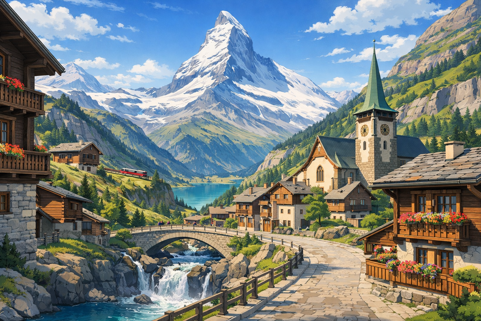
Alpine hiking around Zermatt weaves together high mountain views, quiet forest paths, and classic Swiss village charm. Follow spectacular trails from Zermatt past Furi, Gornergrat, Sunnegga, and Randa for a journey framed by glaciers, larch woods, and the unmistakable silhouette of the Matterhorn.

🥾 ROUTE BY DAY

Ready-made country and city routes with daily plans, sights, transport and accommodation. Buy PDF guides for independent travel.

🥾 ROUTE BY DAY


Day 1 — Zermatt: acclimatization walk toward Zmutt

  • 🥾 Type of walk: mountain valley, alpine meadows, old village, forest and panoramic sections. For the first day, it is best to choose a calm route from Zermatt toward Zmutt and back — this is one of the region’s best-known easy walks, suitable even for regular tourists without special equipment. Active part of the day: about 2.5–3.5 hours with stops, difficulty easy, estimated distance 8–10 km, elevation gain usually around 250–350 m depending on the variation. The trail is popular, easy to follow, runs along clear paths, and lets you gently get used to the altitude after arrival. Along the way there are beautiful views of the Matterhorn, wooden barns, pastures, and the historic architecture of Zmutt. In summer and early autumn, it is better to start in the morning or closer to evening to walk without rushing and in soft light; after rain, some sections may be wet, but the route usually remains safe. At the beginning of the season, there may still be snow higher up on the slopes, but this walk belongs to the lower and most accessible options.


Day 2 — Furi: suspension bridge and Dossen Glacier Garden

  • 🌲 Type of walk: forest, gorge, suspension bridge, glacial landforms. Go up from Zermatt to Furi by cable car or on foot and follow the official Furi Suspension Bridge Path. This is a very good day for easy hiking: the active part is about 1–1.5 hours for the themed loop itself, difficulty easy, distance about 2.9 km, elevation gain about 128 m. If you add a relaxed walk around Furi and picnic breaks, it becomes a comfortable half-day route without overload. The trail suits an ordinary tourist because it is short, marked, follows an equipped network of walking paths, and requires no alpine training. The main impressions are the sound of water in the gorge, the suspension bridge above Gorner Gorge, shady forest, and traces of an ancient glacier in the Dossen glacier garden. Seasonally, it is important to note that the route is usually most comfortable from June to October; after heavy rain, boardwalks and forest sections may be slippery, and in the shoulder season you should check the operation of the lift to Furi in advance.

Day 3 — Gornergrat and Riffelsee: short high-alpine walk with Matterhorn views

  • 🏔️ Type of walk: high-alpine lake, panoramic trail, alpine garden, viewpoints. Take the cog railway to Gornergrat, walk a little around the viewpoint area at the top, then descend to Rotenboden and walk to Riffelsee with a continuation to Riffelberg. Active part of the day: about 1–2 hours of walking plus time at viewpoints, difficulty easy / moderate, distance about 3.1 km, mostly downhill with a few gentle ups and downs. This walk is excellent for regular tourists: access to the start is easy by train, the route is short, very popular, and well marked. Along the way is one of the most photogenic places in the region, where the Matterhorn is reflected in calm water. Nearby is the highest alpine garden in Europe, especially beautiful in July and until mid-August. An important seasonal detail: at around 2800–3100 m it can be cold, windy, and patches of snow can remain longer than below, even in summer. For the ideal reflection in the lake, it is better to come in the morning or on a calm evening.

Day 4 — Riffelalp: gentle walk through alpine meadows

  • 🌿 Type of walk: alpine meadows, sparse woodland, panoramic slopes, mountain quiet. Today, take an easy day on Riffelalp with a light circular route around the station area. Active part: about 1.5–2.5 hours, difficulty easy, distance usually 4–6 km, moderate elevation gain — about 100–200 m depending on the loop variation. This is a very good recovery day: you stay high in the mountains but without a long trek, while the scenery is still impressive — flower-covered slopes, forest edges, views of the Matterhorn, and the historic mountain hotel area. The route is suitable for regular tourists because the trails here are more like walking paths, are well visited, and require no technical skills. In the warm season, it is pleasant to take long photo breaks and lunch with a view; after nighttime rain the grass may be wet, and in early summer some side sections may still hold snow patches.

Day 5 — Sunnegga and Leisee: the easiest day with a lake and family trails

  • 🌞 Type of walk: lake, family park, sunny terrace, easy panoramic paths. Go up to Sunnegga and spend the day walking around Leisee and the nearby scenic trails. Active part of the day: 1–3 hours at a very relaxed pace, difficulty easy, distance 3–6 km, elevation gain minimal. Sunnegga is officially considered one of the friendliest and most family-oriented spots in the region, so it is an ideal place for a pause between busier days. Here you can walk without rushing, enjoy the Matterhorn panorama, relax by the lake, and, if you wish, combine short sections into one pleasant walk. This day is best suited to an ordinary tourist without special equipment: the ascent is quick, navigation is simple, and there are many people, facilities, and easy-to-follow trails around. In season it can be crowded, so for a calmer atmosphere it is better to come early in the morning or closer to evening; at the beginning and end of the season, check the funicular timetable.

Day 6 — Five Lakes: classic walk Blauherd → Sunnegga

  • 💧 Type of walk: chain of mountain lakes, alpine meadows, panoramic slopes, Matterhorn viewpoints. Today is one of the region’s most famous walks, the official 5 Lakes Walk from Blauherd to Sunnegga. Active part of the day: about 2.5–3.5 hours without long stops, difficulty moderate, distance about 9 km. The route is considered accessible for ordinary tourists because it is marked, very popular, logistically convenient, and requires no technical equipment; however, you should be prepared for a long walk at altitude and several waves of ascent and descent. Along the way are the famous Stellisee, Grindjisee, Grünsee, Moosjisee, and Leisee, all different in color, character, and views of the Matterhorn. The best time is summer and early autumn; after fresh snowfall, early in the season, or in bad weather, the route may be less comfortable, so in the morning it is worth checking trail status and visibility. On a sunny day, bring extra water and sun protection: there is little shade in the open sections.

Day 7 — Findeln: village, meadows, and gourmet trail down to Zermatt

  • 🌾 Type of walk: alpine village, meadows, terraces, forest road into the valley. After the Five Lakes day, it makes sense to choose a gentler route along the Findeln Gourmet Trail or its walking version: Sunnegga → Findeln → Ried → Zermatt. Active part of the day: about 2–3 hours, difficulty easy, estimated distance 6–8 km, mostly gradual descent. This is a very pleasant “postcard-perfect” walk along sunny slopes: old barns, wooden huts, pastures, restaurants with a view, and constantly changing angles on the Matterhorn. The route suits regular tourists well because it is not a harsh high-alpine trail, but a popular descent along clear paths and roads. Important seasonal notes: in summer it can be hot on the open slopes, and in rainy weather the forest descent toward Zermatt may be slippery. If you want a very relaxed day, you can shorten the route and return by funicular.

Day 8 — Randa: transfer to a new base and a walk in the valley

  • 🚆 Type of walk: valley, forest, rural views, gentle adaptation to a new base. Travel from Zermatt to Randa by train and devote the day to an easy walk along the lower paths of the Mattertal valley. Active part of the day: 1.5–2.5 hours, difficulty easy, distance 4–7 km, little elevation gain. This day is deliberately left as rest after a series of mountain routes and before the hike to the Charles Kuonen Suspension Bridge. A walk around Randa is suitable for an ordinary tourist because it stays at lower elevations, has no difficult sections, and requires minimal logistics. There is a pleasant small alpine village atmosphere here, good air, and beautiful views of the steep valley walls. The seasonal note is simple: after rain, forest trails may be damp, but the day itself remains a calm backup day; it is also worth checking the forecast for the next day’s ascent to the bridge in advance.

Day 9 — Randa: circular route to Charles Kuonen Suspension Bridge

  • 🌉 Type of walk: mountain forest, panoramic slopes, suspension bridge above a gorge. Randa’s main route is the circular hike to Charles Kuonen Suspension Bridge, the area’s most famous bridge. The active part of the day usually takes 4–5 hours, difficulty moderate, estimated distance 8–10 km, elevation gain about 600–700 m depending on the chosen ascent and descent option. This is the most athletic day of the tour, but it still remains within safe hiking for a prepared ordinary tourist: the trail is marked, very popular, starts right from Randa station, and requires no mountaineering equipment. The main thing is to go in dry weather, not rush, and consider your own fitness. The views over the valley from above and the walk across the long bridge create very strong impressions. A critically important seasonal note: the high Europaweg route as a whole may have closed sections due to rockfall, but the circular hike from Randa to the bridge is usually treated separately, and its status should be checked in advance on the day of departure. If the forecast is bad or there are reports of closures, it is better to replace this day with a calm backup route.

Day 10 — Randa: easy recovery day after the bridge

  • 🌲 Type of walk: forest, valley, rural roads, quiet viewpoints. After the climb to the suspension bridge, it is better to take a recovery day around Randa or a short walk to convenient lower trails with a picnic. Active part: 1–2 hours, difficulty easy, distance 3–5 km, elevation gain minimal. Such a day makes the route realistic and keeps the trip from being overloaded with constant big efforts. It suits an ordinary tourist perfectly: you can simply walk light, look at waterfalls and forested slopes, relax by the river or in the village, and if necessary move the bridge day here if weather got in the way the previous day. In the season of storms and rain, these backup days are especially useful in the Alps because they allow you to adjust the program flexibly and without stress.

Day 11 — Return to Zermatt and walk through Gorner Gorge

  • 💦 Type of walk: gorge, wooden galleries, water, forest trail. Return from Randa to Zermatt by train and in the second half of the day visit Gorner Gorge. This is an excellent day after the transfer: the active part is usually 1–2 hours, difficulty easy, and the distance depends on the approach option from the village, but usually remains short. The route suits an ordinary tourist because the gorge is visited as a natural attraction along equipped passages and boardwalks, without technical requirements. It is a completely different type of nature from lakes and high-alpine views: narrow rock walls, turquoise water, the sound of the stream, and coolness even on a warm day. Important seasonal notes: the site operates on a schedule that should be checked in advance, and after heavy rain or in the shoulder season there may be restrictions. Footwear with good grip is needed because the wooden walkways can be damp.

Day 12 — Schwarzsee: scenic walk by the lake without entering mountaineering zones

  • ⛰️ Type of walk: high-alpine lake, slopes, viewpoints, short marked trails. Take the cable car to Schwarzsee and devote the day to short walks around the lake and on the nearest safe scenic sections, without heading onto routes to huts or technical approach paths. Active part of the day: 1–2.5 hours, difficulty easy / moderate, distance usually 3–5 km, little elevation gain. This is a good way to see a harsher landscape at the foot of the Matterhorn while staying in an area accessible to ordinary tourists. The trail is suitable without special equipment as long as you do not go higher onto alpine routes and do not try to continue to climbers’ sections. Seasonally, it is important to remember that it is cooler and windier here than below, and snow may linger longer; in fog and low cloud, it is better to stick only to the most obvious marked paths near the station.

Day 13 — Gornergrat / Riffelberg: panoramic day with short walks and rest

  • 🚞 Type of walk: panoramas, short mountain trails, viewpoints, alpine railway. Today you can have a beautiful but not demanding day: go up again to Gornergrat, walk around the viewpoint area, then descend to Riffelberg or Riffelalp and do one of the short safe sections, for example returning to photo spots or following a calm walking link. Active part: 1.5–3 hours, difficulty easy, distance 4–7 km depending on the chosen option, little elevation gain when moving mostly downhill. This day is good because it leaves one more strong alpine highlight for the finale, but without a long trek. Regular tourists are comfortable here thanks to easy train access, clear infrastructure, and many short options. As on any day at altitude, check the weather in the morning: if there is no visibility, you can replace the day with a lower route in Zermatt.

Day 14 — Zermatt: final walk along lower trails and valley viewpoints

  • 🌄 Type of walk: valley trails, forest, scenic clearings, calm finale. On the last day, leave time for a gentle finishing walk along the lower trails around Zermatt — for example, along convenient paths toward the forest, riverside sections, and viewpoints on the edge of the village. Active part of the day: 1.5–3 hours, difficulty easy, distance 4–8 km, elevation gain moderate or minimal depending on your choice. This is a realistic end to the tour: no rush, with the chance to pack calmly, buy food for the road, and say goodbye to the Matterhorn one more time. This kind of day suits an ordinary tourist best because it does not depend on complicated logistics and does not require an early start. If the forecast is bad, just shorten the route to a walk around the village and nearby trails; if the weather is clear, this is an excellent chance to take final photos in the soft light of sunset.

Flight tickets

eSIM for travel

Buy PDF guide

Buy PDF guide — 29.99 USD

PDF — 29.99 USD